
Telling Places in Country (TPIC)
October 29 1830 - TPIC
Commentary by Patsy Cameron.
Reference: (FM) Plomley, N.J.B. (ed.) Friendly Mission: the Tasmanian journals and papers of George Augustus Robinson (1966)
Daily Project Commentaries
29 October
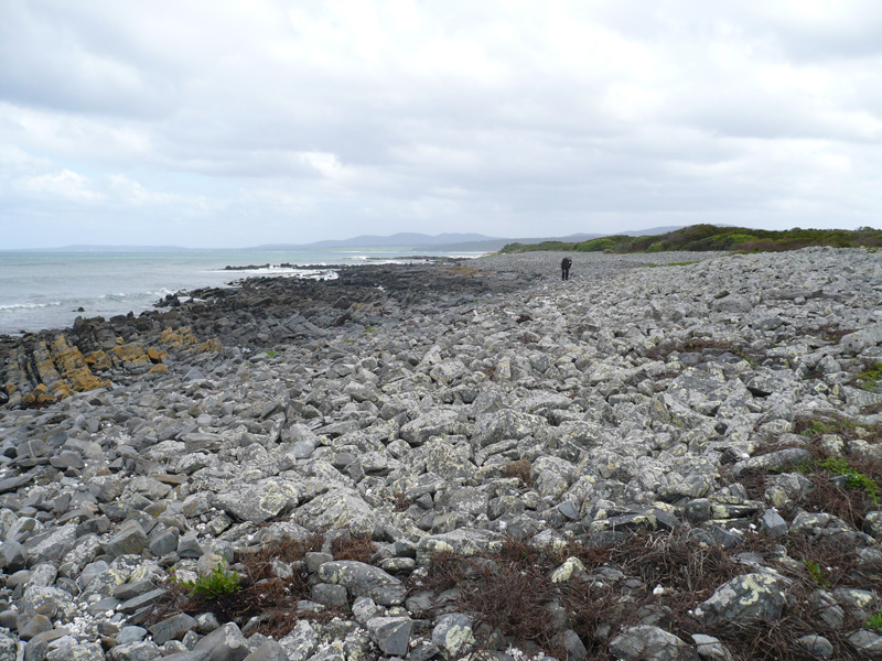
The expedition continued their journeyline south along the coast and reached Eddystone Point
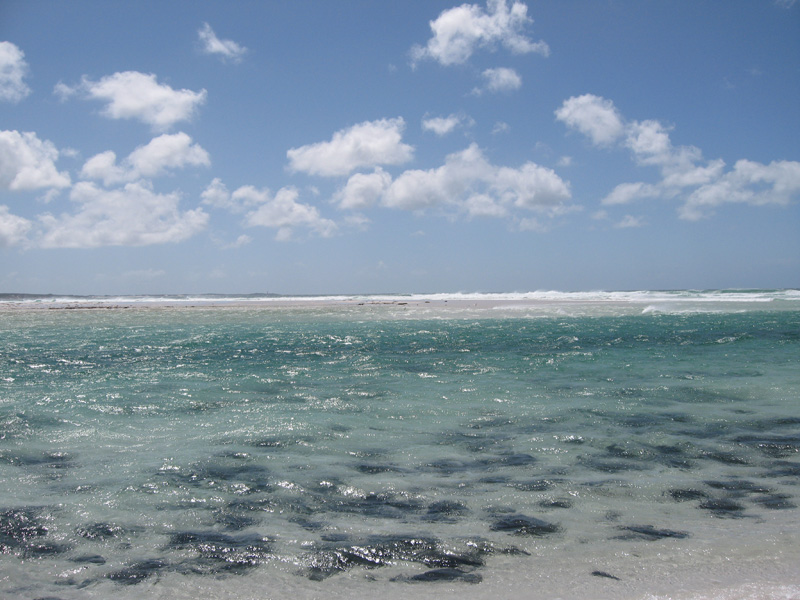
![]() From the higher ground at Eddystone Point they saw smoke inland from the coast in a SSW direction. Robinson was told by his guides that these smokes were made by clansmen burning off their country and thus marked their location. As the group walked the coast along the northern end of the Bay of Fires (Larapooner) their path was cut off by what Robinson described as 'a very long inlet'. They had arrived at the bar-way entrance to Ansons Bay
From the higher ground at Eddystone Point they saw smoke inland from the coast in a SSW direction. Robinson was told by his guides that these smokes were made by clansmen burning off their country and thus marked their location. As the group walked the coast along the northern end of the Bay of Fires (Larapooner) their path was cut off by what Robinson described as 'a very long inlet'. They had arrived at the bar-way entrance to Ansons Bay
![]() which was not marked on Robinson's map. Pushing against a strong running tide 'up to the armpits' they reached the other side of the barway at what is now called Policemen's Point
which was not marked on Robinson's map. Pushing against a strong running tide 'up to the armpits' they reached the other side of the barway at what is now called Policemen's Point
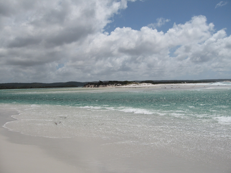
![]() From Policemen's Point the smoke observed earlier continued to fill the distant sky.
From Policemen's Point the smoke observed earlier continued to fill the distant sky.
Of some concern to Robinson were footprints that indicated the recent presence of whitemen, possibly roving parties, at Policemen's Point. He was told by his guides that the clanspeople he sought would not be found near the coast, especially because they would avoid meeting intruders, and they would hunt plenty of food inland. After walking the beach along the Bay of Fires they reached a place, possibly The Gardens or Sloop Rock, called 'Giants Rock' by Robinson, where using the map as a guide he estimated that he was 'near to Georges River'. The group camped in this area on the night of October 29.
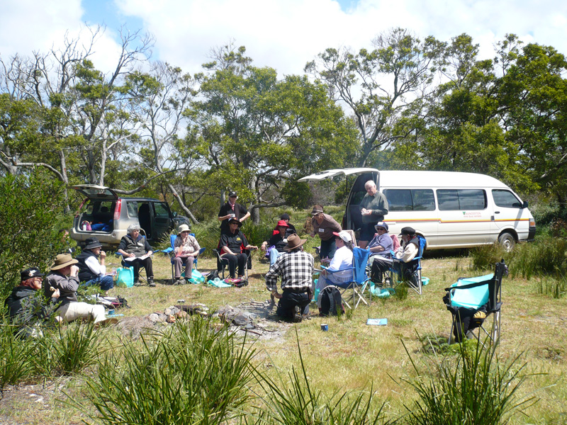
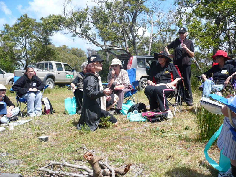
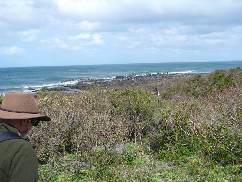
Our research team engaged in the pilot project titled Meeting At Bark Hut set up basecamp at Cosy Corner
![]() in the southern end of the Bay of Fires on 28 October 2007. We began retracing and remapping the footsteps of Robinson and the Trouwunnan guides at Policemen's Point
in the southern end of the Bay of Fires on 28 October 2007. We began retracing and remapping the footsteps of Robinson and the Trouwunnan guides at Policemen's Point
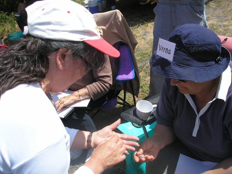
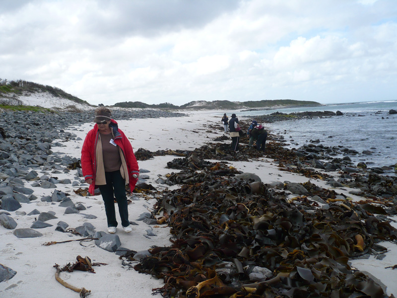
![]() on 29 October. Travelling in a convoy of 4WD vehicles we accessed the Bay of Fires Coastal Reserve about three kilometres south of Policemen's Point through a local landowners property. Our destination was an important ceremonial pathway and stone arrangement site located within the Coastal Reserve
on 29 October. Travelling in a convoy of 4WD vehicles we accessed the Bay of Fires Coastal Reserve about three kilometres south of Policemen's Point through a local landowners property. Our destination was an important ceremonial pathway and stone arrangement site located within the Coastal Reserve
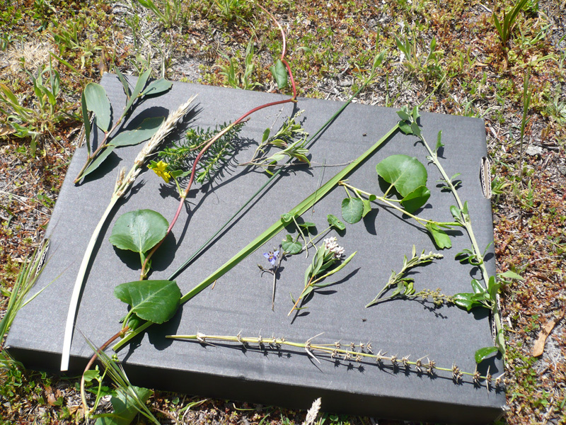
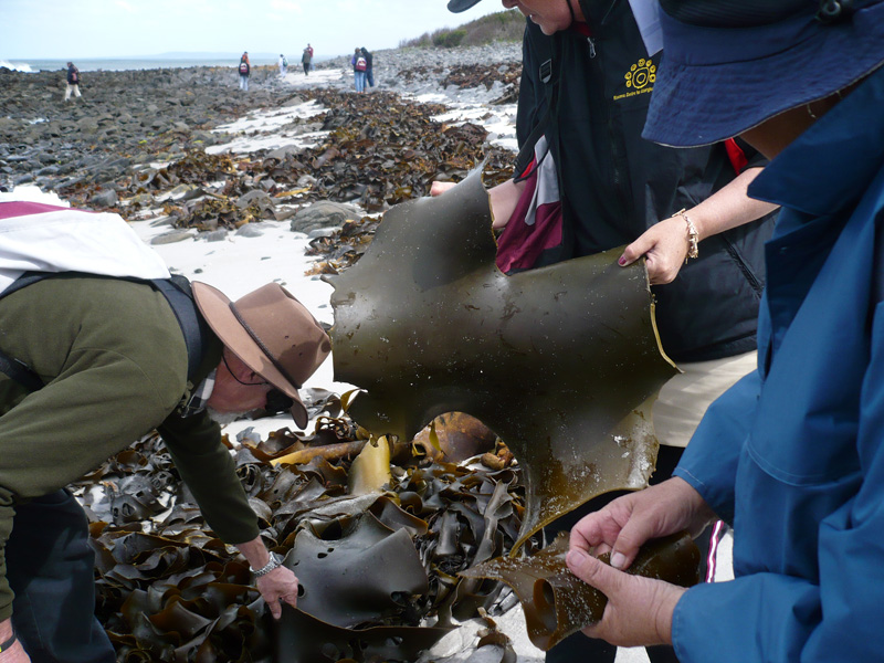
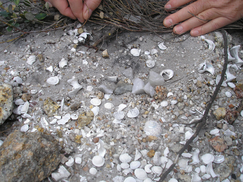
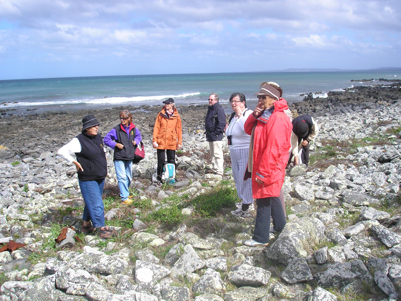
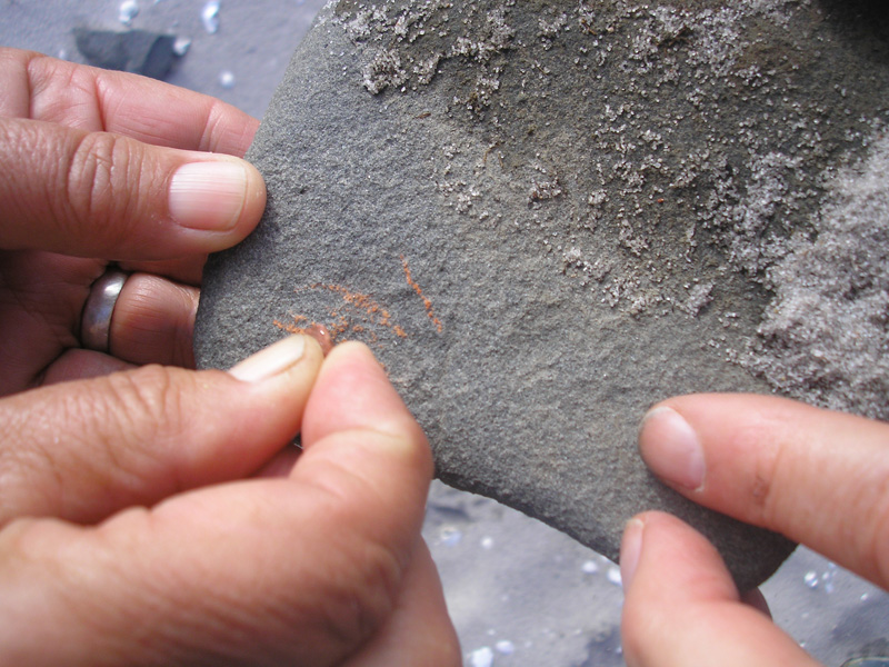
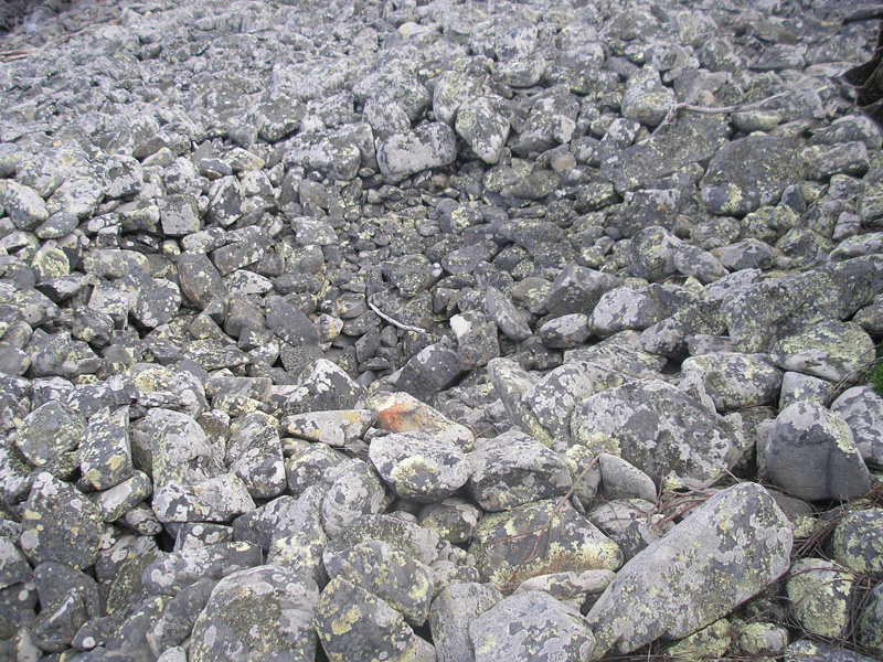
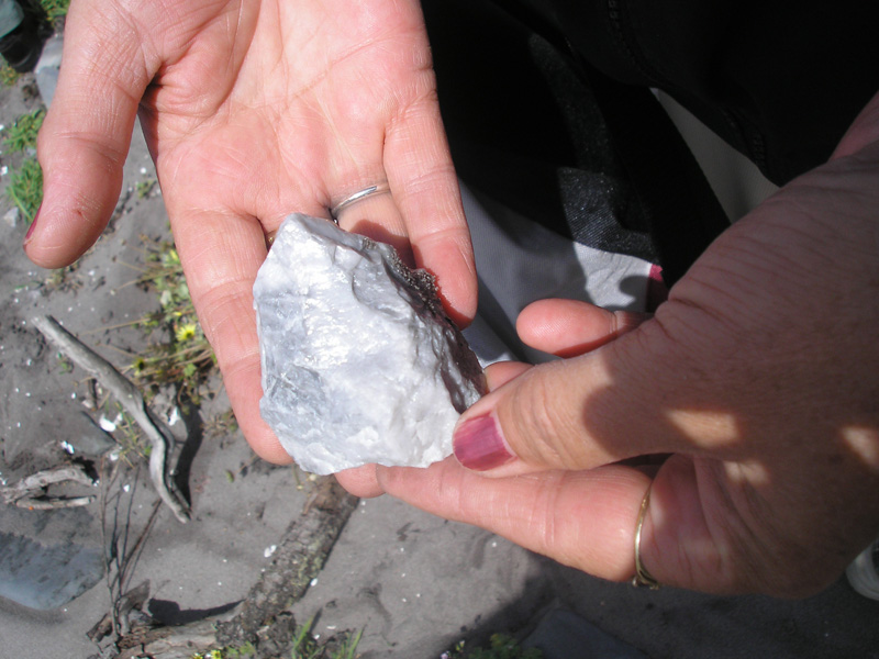
![]() All along this coastline are found extensive scatters of stone tools and the remains of a great variety of shellfish, birds and land and sea mammals that show the richness and diversity of the seacoast diet that had been available to the local clanspeople. As well as seeing a number of land animals, such as echidna, wallaby and snake, living flora demonstrated a variety of fruits, herbs, roots, and medicinal plants that grew in the area in colonial times. We noted with interest that the aligned ceremonial pathway of large flat stones adjacent to a row of arranged stone cairns and depressions was not mentioned in Robinson's journals. Could it be that Robinson did not see this ceremonial placescape? Is it possible that the two local guides deliberately led him away from the site? Or was the group travelling at such a pace that prevented them from stopping at this revered ceremonial place? We will probably never know the answers to these questions.
All along this coastline are found extensive scatters of stone tools and the remains of a great variety of shellfish, birds and land and sea mammals that show the richness and diversity of the seacoast diet that had been available to the local clanspeople. As well as seeing a number of land animals, such as echidna, wallaby and snake, living flora demonstrated a variety of fruits, herbs, roots, and medicinal plants that grew in the area in colonial times. We noted with interest that the aligned ceremonial pathway of large flat stones adjacent to a row of arranged stone cairns and depressions was not mentioned in Robinson's journals. Could it be that Robinson did not see this ceremonial placescape? Is it possible that the two local guides deliberately led him away from the site? Or was the group travelling at such a pace that prevented them from stopping at this revered ceremonial place? We will probably never know the answers to these questions.
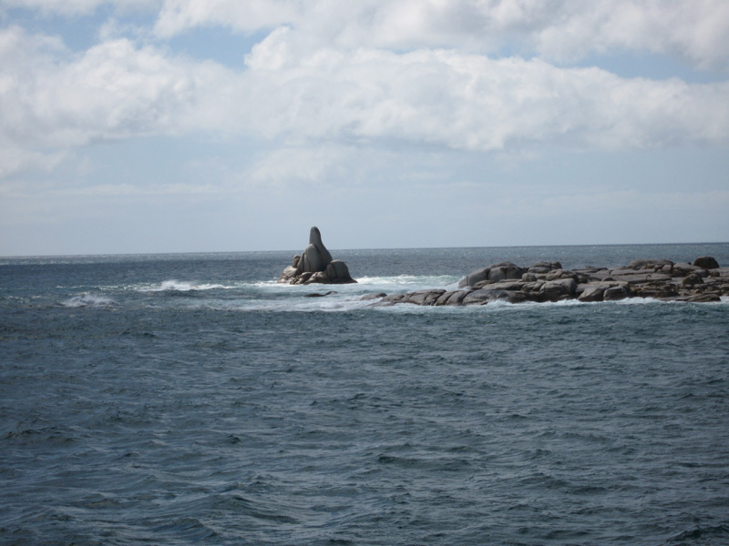
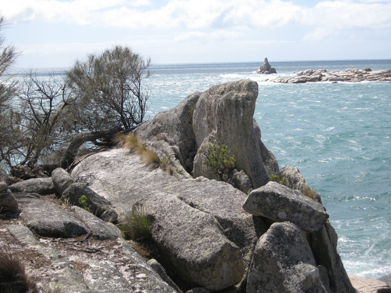
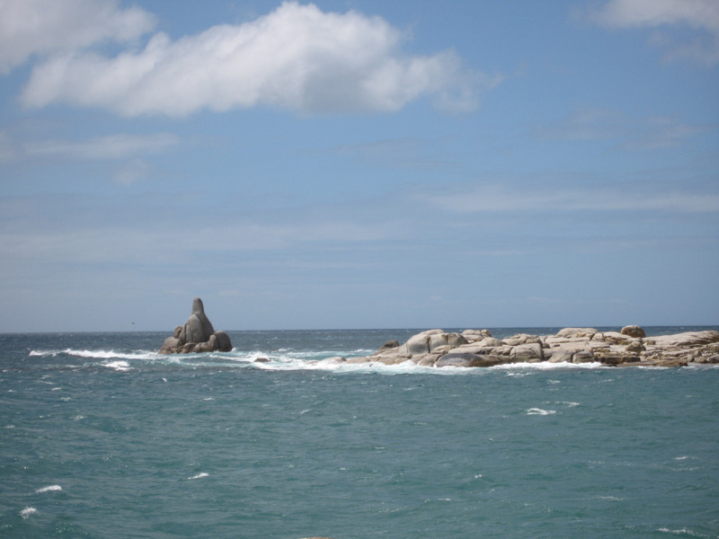
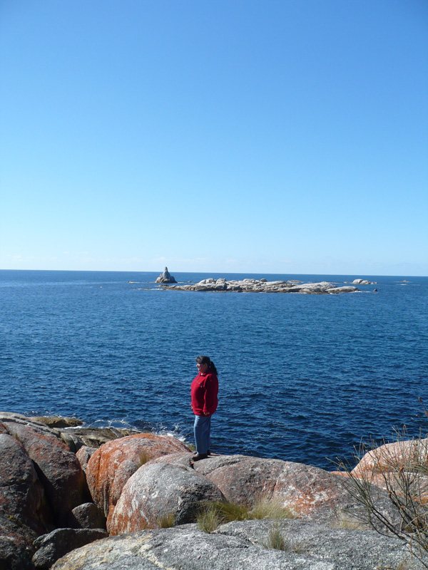
After leaving the Coastal Reserve we headed back to the southern end of the Bay of Fires and picked up Robinson's trail at Giants Rock, (Sloop Rock)
![]() , described by him as resembling a boat under sail. The granite monolith, clearly visible from Binalong Bay and The Gardens, is a significant landmark at the southern end of the Bay of Fires. Heading south towards Binalong Bay the next landmark identified by Robinson is Grants Lagoon
, described by him as resembling a boat under sail. The granite monolith, clearly visible from Binalong Bay and The Gardens, is a significant landmark at the southern end of the Bay of Fires. Heading south towards Binalong Bay the next landmark identified by Robinson is Grants Lagoon
![]() which is a large expanse of brackish saltwater that is cut off from the sea by a wide sandy beach. Sloop Rock and Grants Lagoon confirmed to us that the route travelled by Robinson in 1830 was along the coastal fringe to the east of a ridge of hills now known as Seaton's Tier and Mt Pearson.
which is a large expanse of brackish saltwater that is cut off from the sea by a wide sandy beach. Sloop Rock and Grants Lagoon confirmed to us that the route travelled by Robinson in 1830 was along the coastal fringe to the east of a ridge of hills now known as Seaton's Tier and Mt Pearson.
From a high point in the Humbug Point Reserve we could see the small island Robinson referred to as Barren Island now known as St Helens Island.
![]() From St Helens Island he expected to see smoke signals announcing the arrival of McKay's boat to resupply the group with the fresh supplies he needed to complete his reconnaissance of the area. However, there no signals were sighted by the weary travellers in 1830. The party proceeded on expecting to reach the Georges River around every point but again the map proved to be a frustration to Robinson as it was inaccurate and took longer than he anticipated to reach what he called the Georges River. It appears that they had actually arrived at the Georges Bay inlet rather than the Georges River. In 2007 after several surveys of the area we concluded that Robinson's party would not have walked several kilometres further to what is now the Georges River if the purpose was to check the high point above St Helens Island the following day. It is more likely that Robinson's party reached a sheltered place in Tuckers Inlet on Georges Bay before making camp on the night of October 29, 1830. Robinson mentioned being bothered by mosquitoes that night and our local Aboriginal Elder, Gloria Andrews, confirmed that Tuckers Inlet is still famous for its infestations of these persistent bloodsuckers!
From St Helens Island he expected to see smoke signals announcing the arrival of McKay's boat to resupply the group with the fresh supplies he needed to complete his reconnaissance of the area. However, there no signals were sighted by the weary travellers in 1830. The party proceeded on expecting to reach the Georges River around every point but again the map proved to be a frustration to Robinson as it was inaccurate and took longer than he anticipated to reach what he called the Georges River. It appears that they had actually arrived at the Georges Bay inlet rather than the Georges River. In 2007 after several surveys of the area we concluded that Robinson's party would not have walked several kilometres further to what is now the Georges River if the purpose was to check the high point above St Helens Island the following day. It is more likely that Robinson's party reached a sheltered place in Tuckers Inlet on Georges Bay before making camp on the night of October 29, 1830. Robinson mentioned being bothered by mosquitoes that night and our local Aboriginal Elder, Gloria Andrews, confirmed that Tuckers Inlet is still famous for its infestations of these persistent bloodsuckers!