
Transforming the Mining Value Chain
Geological Mapping with UAVs

The Earth Sciences department, in conjunction with the new ARC TMVC Research Hub, recently conducted a field-based exercise with second year undergraduate students at Freycinet National Park, Tasmania. The purpose was to integrate and teach a useful geological mapping technique commonly used in mineral exploration that records alteration and mineralisation, with high-resolution spatially referenced photographs as a base-layer. The photographs were taken from an Unmanned Aerial Vehicle (UAV), piloted by Dr. Michael Roach from the University of Tasmania and AusGeol.org. The result was a successful exercise that integrated an old technique with new technology.
A second location within the Park is to be the target of a future TMVC project. This project will also utilise UAV-captured 3-D imagery to aid with detailed mapping of key geological features, something that will no doubt become more commonplace in the mineral exploration and mining spheres.
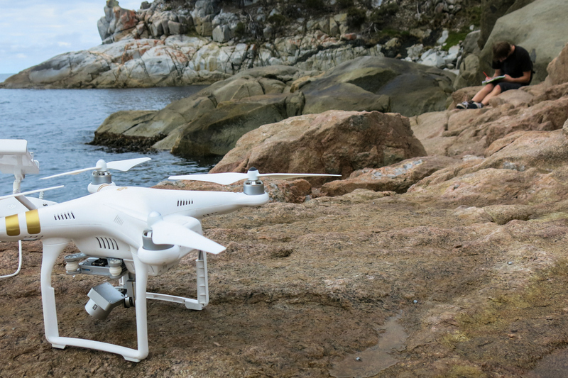
Unmanned Aerial Vehicle (UAV) on the rocks at Freycinet National Park, Tasmania.
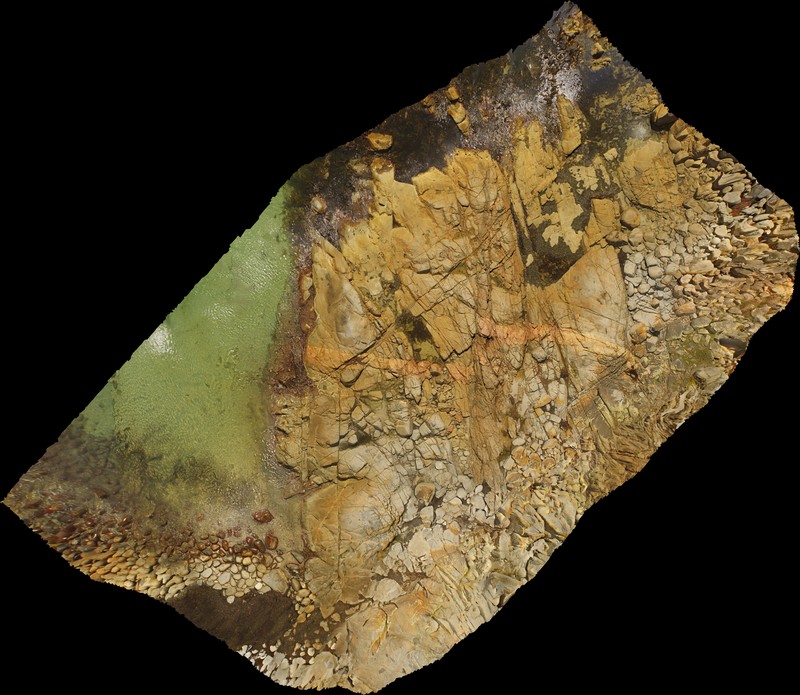
Example of a high-resolution photograph captured by a UAV, used as a base layer for geological mapping.
Story and images courtesy of PhD student Stephanie Sykora