 |
 |
|
Oatlands
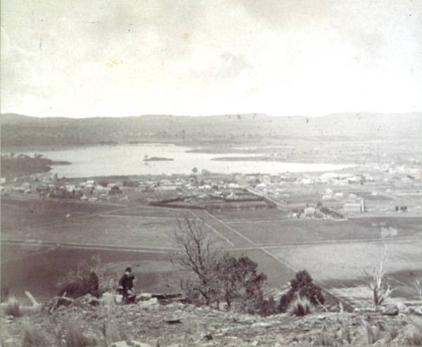
Oatlands, on the shores of Lake Dulverton, was named and selected as a township by Governor Macquarie on 3 June 1821, and by 1827 a survey and street plan had been laid out by surveyor William Sharland. It quickly became a vital link between Hobart and Launceston, with a good supply of building timber and stone, and the erection of barracks, gaol, courthouse, numerous inns (six licensed hotels by the 1850s), churches, schools and dwellings. It is the centre of a prosperous rural area, noted for sheep, cattle and grain (formerly milled at the Callington Mill), and is reputed to have more colonial stone buildings per capita than any other Australian town. The population today is over 2000. Further reading: J Cantwell, Oatlands, [Oatlands], 1993; K von Stieglitz, A history of Oatlands and Jericho, Evandale, 1960. Jill Salmon
|
Copyright 2006, Centre for Tasmanian Historical Studies |