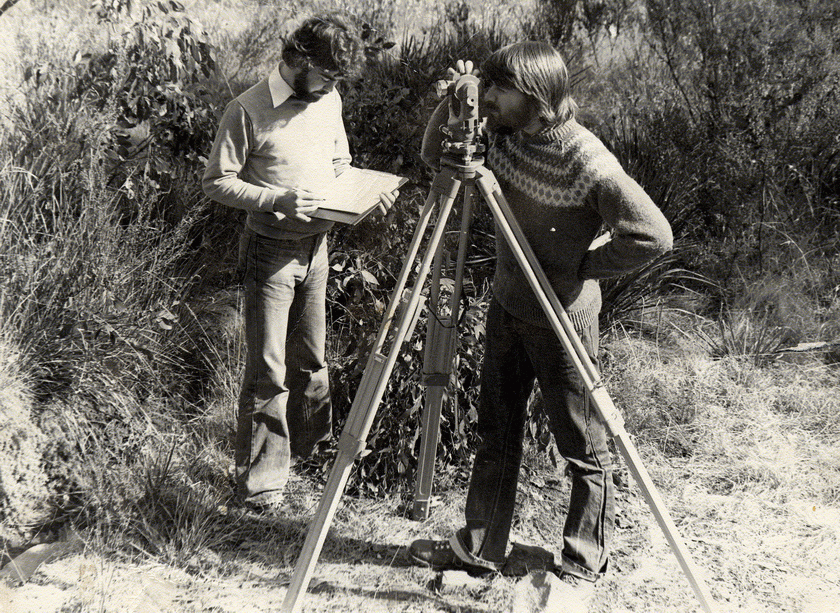
In 2005, Dr Elyse Allender embarked on a Surveying and Spatial Sciences Degree at the University of Tasmania with the ambition of pursuing a career in space.
Two decades on and the researcher and planetary scientist has applied those skills successfully to detect mineral locations on the planet Mars.
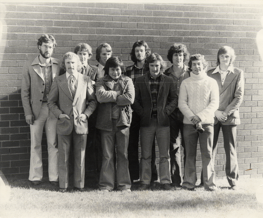
Elyse recently joined fellow Alumni Ambassadors for a weekend of celebrations to mark the 50th Anniversary of Surveying and Spatial Sciences at the University of Tasmania.
The University’s Head of the School of Geography, Planning and Spatial Sciences, Professor Arko Lucieer, said the anniversary was an opportunity for our current spatial scientists to inspire a new generation.
“The spatial sciences have seen a rapid surge driven by technology and by the global hunger for more detailed and accurate spatial data,” he said.
“The University is proud that our discipline holds a key role in an industry that is among the nation’s fastest growing sectors. Our teaching has always been well connected to world-class research.”
“Together we continue to employ our disciplinary skills and knowledge to help address problems of great social and environmental significance such as changing climates, rising sea levels, and biodiversity conservation.”
The anniversary events were a great opportunity for alumni to reconnect and share stories from the past 50 years.
The Alumni Ambassadors’ stories highlight the broad spectrum of careers that the University’s Surveying and Spatial Sciences graduates have embarked upon. Speaking at the Anniversary Dinner, Vice-Chancellor Professor Rufus Black said now is the time to look
toward to the next 50 years.
“When you see where we’re at today, one feels that Spatial Science is only just starting to truly take off,” he said.
“Our satellite world is getting ever richer and denser data, enabling us to do things that were almost unimaginable – in near or actual real-time. That’s an incredible world. If that isn’t creating enormous personal and societal value over the next 50 years, I’d be very surprised.”
Assistant Director at the Australian Space Agency, Elyse mined data to detect distinct mineral locations on Mars’s surface.
“It was great to have the opportunity to pursue my interest in a career in space and apply the skills I learned to another planet!” she said. As a member of the Panoramic Camera (PanCam) science team for the European Space Agency’s ExoMars rover mission, Elyse also collected imagery and developed software tools for analysing those images.
Ambassador Dr Antonius Wijanarto (BSurv Hons 1996, PhD 2000) arrived at the University under an Indonesian Government Scholarship to study Surveying, returning home a leader in his field.
Antonius established 200 CORS stations and 100 tidal stations, used as part of the Indonesian Tsunami Early Warning System, and headed up the Centre for Data Management and the Centre for Geodetics Network and Geo-dynamics.
In 2019 he became Deputy Chairman for the Indonesian Geospatial Information Agency, and now works on the One Map Policy Program integrating all geospatial information for decision-making: ensuring no duplication among ministries, agencies, and local governments.
“Government realised that to achieve our development goals, data, including Geo-Information, plays a crucial role,” he said.
A visit from the University’s Dr Christopher Watson to a Year 12 class inspired Geoscience Australia (GA) Assistant Director Dr Anna Riddell into a bachelor’s degree in Surveying and Spatial Sciences.
Anna has worked on many projects including the AuScope Global Navigation Satellite Systems (GNSS) network, liaising with state and national counterparts to implement the new national datum (GDA2020), and working internationally for the adoption of a United Nations resolution on the importance of a global geodetic reference frame.
Anna’s PhD is in the field of Geodesy where she researched the vertical land motion of the Australian crustal plate using the AuScope GNSS network to maintain the Australian Geospatial Reference System.
“As society becomes more reliant on positioning services (think about using your phone for maps, in-car satellite navigation, or fitness tracker apps and devices like smart watches), we also need the foundational infrastructure that underpins positioning applications to align the different spatial information sources,” she said.
University Ambassador Alexander Leith (BSurvSpSc Hons 2010) is Deputy Director of the Australian Ocean Data Network for the Integrated Marine Observing System (IMOS).
Alex has had influence as a successful software developer and geospatial analyst.
“We established Digital Earth Africa to ensure that more than 3PB of data is effectively managed, updated and made accessible to decision-makers across Africa, which means overseeing more than a million USD in cloud computing costs annually,” he said.
He said working with technical professionals from across the world at the global FOSS4G conference in Bucharest led to Sentinel-2 data being made available for free globally.
Also joining the celebrations were Alumni Ambassadors Paul Digney (BSurv Hons 1998) and Nicholas Davies (BGeom Hons 2003).
Paul is the Survey Technical Director for Jacobs Australia and is Director and President-Elect of the Surveying and Spatial Sciences Institute (SSSI).
Nicholas is Client Director Digital and Spatial at Veris. He also contributes his expertise as a board director and as a technical professional in 3D laser scanning (digital and spatial).
We congratulate all our alumni in Surveying and Spatial Sciences for the contributions they make to this fast-moving sector, delivering solutions ranging from the everyday positioning services we rely on to some of the world’s most pressing concerns.
Written by Keiva Matheson for Alumni Magazine Issue 53, 2022.
Connect with our alumni community to discover more.
Top of page: Fieldwork on the Amery iceshelf in Antarctica.