
CODES – Centre for Ore Deposit and Earth Sciences
Program 6
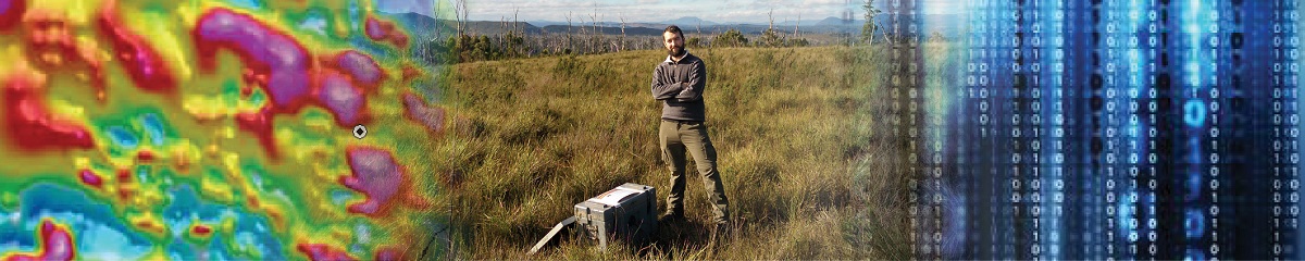
GEOPHYSICS AND COMPUTATIONAL GEOSCIENCES
OBJECTIVE
This Program provides geophysical data acquisition, processing and interpretation as a core component of CODES’ research and training activities. Computational geosciences are becoming increasingly important as technological advances drive a step-change in automated data acquisition and imaging methods across the geosciences. We will address challenges with handling, processing, visualising and interpreting Big Data in the minerals industry, from exploration, mining and mineral processing to waste management.
 |
|
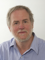
LEADER: Matthew Cracknell | DEPUTY LEADER: Michael Roach |
ACTIVE PROJECTS
- Integrating geology and geophysics for resources targeting
- Geodata analytics, visualisation and decisions
- Geological visualisation and virtual education
- Magnetotelluric imagery of the Earth's crust and mantle
- The lithosphere of East Antarctica from combined geology and geophysics
- Application of passive seismic methods to assess the stability of mine tailings dams
- Corescan data feature extraction and classification for mineralogical and textural information analysis (TMVC project)
- Interpreting structural and geochemical patterns using machine learning (TMVC project)
- Geological feature discovery from quantitative data integration (algorithm development) (TMVC project)
COMPLETED PROJECTS
- Geophysical investigations on the Sorsdal Glacier, Antarctica
- Generation of geological logs from 3D virtual models
- AusGeol virtual library of Australia's geology
- Palaeomagnetic analysis of the Palaeozoic orocline model for Tasmania
- Assessment of rock strength from petrophysical and mineralogical data
- Geophysical investigations of Tasmania at multiple scales
- Seismic array investigations of ocean storms
- Elastic modelling of seismic wave propagation in mine environments