Bachelor of Geospatial Science
 3 years full-time, up to 7 years part-time
  Hobart

Graduate with a certified drone pilot licence
Learn to use drones for scientific research and data collection.

Connect with industry partners
Work with industry through project-based units.

Go beyond the classroom
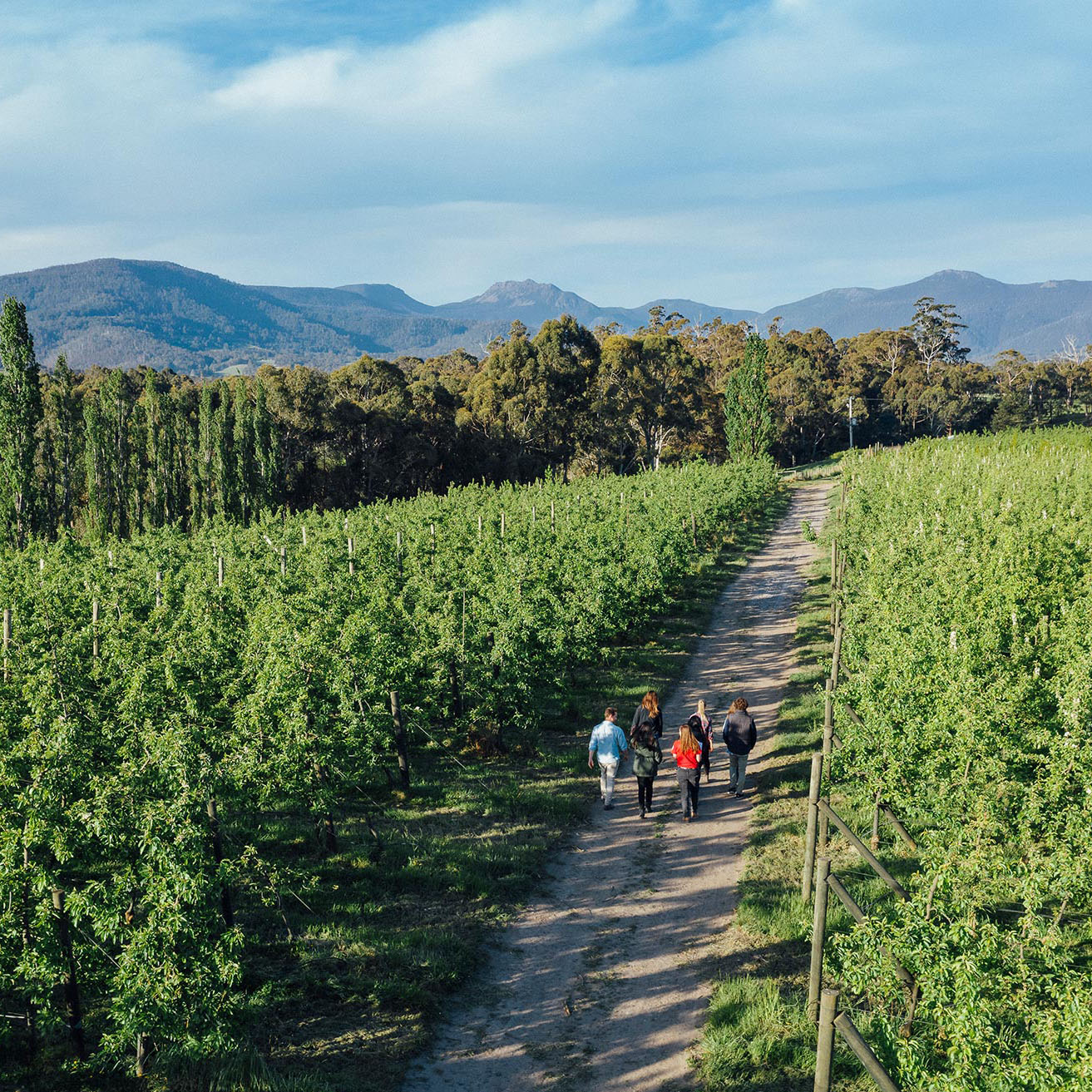
Use industry leading equipment in the field while exploring Tasmania's living laboratory.
Understand the relationship between community and environment to drive meaningful impact
Geospatial scientists measure, map and model our world. You could play a critical role in the decisions that affect our society and influence the world of tomorrow.
This degree will give you hands-on experience with the full range of traditional land surveying equipment as well as modern technologies such as Geographic Information Systems (GIS), UAS (Unmanned Aerial Systems), airborne and satellite remote sensing, Global Navigation Satellite Systems (GNSS), and laser scanning (3D point cloud processing).
You'll learn practical skills that are highly relevant across disciplines such as Environmental Management, Geography, Geoscience, Computing and Information Systems, Biological Sciences, Agricultural Science, Marine Science, and Antarctic Science.
Catalyst Program
Want to combine your degree with overseas trips, summer research programs, scholarships and special events? Our Catalyst Program offers domestic high achieving school leavers all this and more.
All domestic students with an ATAR of 90 or greater, enrolled in a range of STEM courses will be awarded a $3,000 Catalyst Scholarship. Across the program students can access scholarships of up to $14,500 in value, and gain experience that will make you stand out in your chosen field. Learn more about the Catalyst Program
Study options in this degree
During your studies, you’ll choose an area that interests you, and then study a group of units related to that area. That group of units is called a major, and is an area of focus in your degree. Find out more at What is a Major?
The Data Analytics major complements your geospatial core units by providing a comprehensive study pathway that integrates data handling, statistics, programming, machine learning, Internet of Things (IoT), and big data computing. Pursuing this major will equip you with the knowledge and skills necessary to effectively manage, analyse, and interpret data using digital tool and solutions.
Gain hands-on experience with cutting-edge technologies and applications, allowing you to proficiently manipulate, analyse, and interpret data. These skills will enable you to uncover valuable patterns, trends, and relationships, empowering you to contribute to solving real-world issues.
By graduation, you will have mastered the art of harnessing the power of geospatial data analytics. Equipped to integrate and analyse multidimensional datasets, you'll generate comprehensive insights and provide data-driven recommendations.
In this major you will develop a deep and scientific understanding of the intricate interactions between physical landscapes, human activities, and environmental systems. This knowledge will equip you with the skills necessary to make informed decisions pertaining to the conservation, restoration, and sustainable utilisation of our natural resources.
You'll have the chance to participate in hands-on learning experiences and go on enriching field trips, which could involve visits to Tasmania's extraordinary and unique island environments. Experiences in field trips and practical classes will allow you to develop skills to measure, monitor, and manage physical environment processes that impact human society.
You’ll gain practical skills such as utilising global positioning systems, employing rapid topographic survey techniques, conducting microclimatic data collection, analysing soil composition, measuring geomorphological features, conducting vegetation and fauna surveys, and mapping and data entry.
The demand for surveying professionals is constantly growing, and this major equips you with the skills and knowledge needed to succeed in various industries and occupations. Whether it's working in land, engineering, mining, or hydrographic surveying, graduates are in high demand. Opportunities in environmental management, geospatial data collection and analysis, and land development planning are also available.
Your studies have a strong emphasis on hands-on learning. You can apply your theoretical knowledge in practical settings as you learn to collect accurate data, analyse it, and create detailed models of the land, buildings, and infrastructure.
Through fieldwork and site visits, you'll gain also valuable experience in using the latest surveying equipment and technologies to measure and map the physical environment.
The accredited major provides a clear pathway to further your studies and become a registered land surveyor. If you wish to progress to registration under State and Territory legislation as practising land and cadastral surveyors will need to complete the 1-year Graduate Diploma of Land Surveying.
Add sustainability to your degree
As part of our commitment to sustainability, we have created a complementary, optional major available across most of our flexible bachelor's degrees.
In the major, explore interdisciplinary knowledge and skills that underpin the development of sustainable societies and solutions. Informed by international and local research, practice, and theory, this major allows you to develop specialist expertise across the physical and social sciences and humanities, emphasising student-led and problem-based learning.
It provides the frameworks for developing sustainability-oriented solutions in a range of fields and is relevant to a wide range of careers.
Combined study options
Choosing a double degree allows you to deepen your knowledge within two separate study areas. This means you can pursue your career and follow your passion at the same time. And when you graduate, you’ll have a set of skills that will really set you apart.
The Bachelor of Geospatial Science can be combined with a number of other degrees. Visit the Double Degrees page to learn more.
Further study options
Graduates of the Bachelor of Geospatial Science who wish to progress to registration under State and Territory legislation as practising land and cadastral surveyors will need to complete the 1-year Graduate Diploma of Land Surveying.
You may also wish to explore postgraduate studies in Environmental Geospatial Science.
Find out more about what you'll study, entry requirements, fees and scholarships - and to apply.
Career opportunities
Every industry on Earth utilises geospatial sciences in some way. Graduates have the opportunity to pursue a range of careers, including:
- Geospatial analyst and GIS specialist
Conduct computer-based mapping and analysis of geospatial information, resulting in efficient and effective decision-making. From assessing the construction of billion-dollar tunnels under cities, projecting housing expansion over the coming decades, or evaluating climate change effects on the environment, geospatial analysts are involved in many different projects around the world. - Remote Sensing Specialist
Provide measurement, mapping, and data analysis from drone, aircraft, and satellite sensors. Map areas of the world that cannot otherwise be easily accessed or visualised, both in real-time (e.g., during bushfires and floods) and as part of ongoing planning and management. - Land and Engineering Surveyor
Surveyors play an integral role in all aspects of land development, from planning and designing subdivisions to the construction of major infrastructure, roads, and buildings. Licensed Land (Cadastral) Surveyors are always in demand, as they are the only people legally able to define land boundaries. - Hydrographic Surveyor
Measure and map the seafloor to inform large-scale marine-oriented projects, such as ensuring ports and shipping lanes are accessible for global trade. - Geodesist
Utilise satellite and terrestrial data to measure and map the Earth and monitor regional and global changes such as sea level rise, shifting ice sheets, and earthquakes.
For more information on career paths and the types of jobs available in the Geospatial Science industry, visit: https://everythingsurveying.com.au/
Careers relating to geospatial sciences are growing across many industries. Here are some of the top careers projected to grow: ^
Very strong
Surveying and
Spatial Science Technician
Future Demand*
11.9%
Architectural, Building and Surveying Technicians
Predicted job growth to 2033**
18.6%
Spatial Scientist
Predicted job growth to 2033**
*yourcareer.gov.au/occupations
**Jobs and Skills Australia, Employment projections to May 2033
Our geospatial stories
View more storiesStudy with us
Graduate job-ready and enter a dynamic, fast-growing industry.
50 years of Surveying and Spatial Sciences
Many highly respected surveyors and geospatial scientists nationally and around the globe have been educated at the University of Tasmania. Hear from our graduates and academics on how geospatial science has evolved over the years, and the career opportunities that exist within this industry.