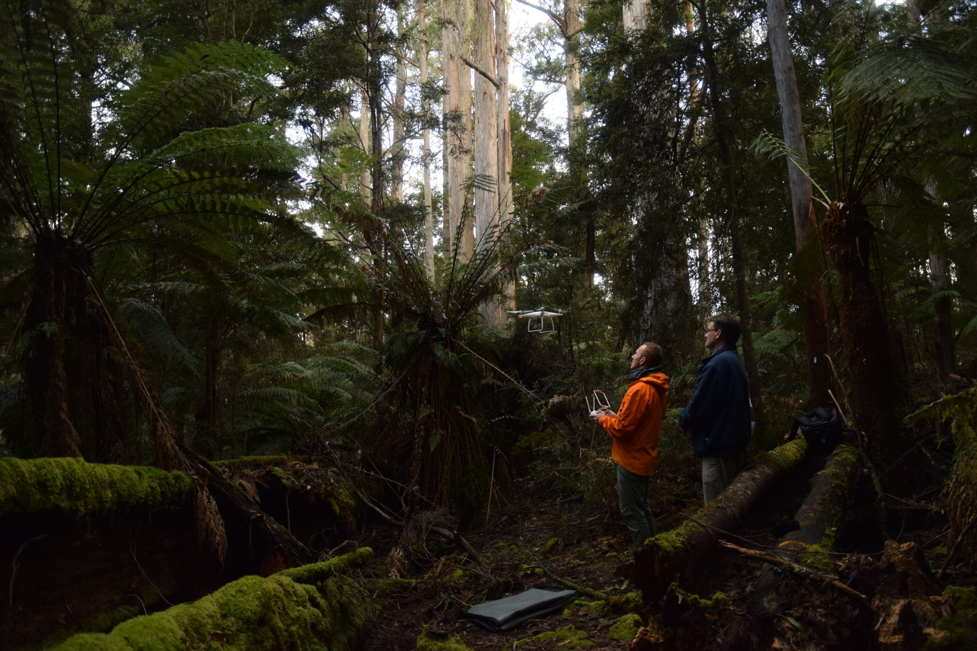
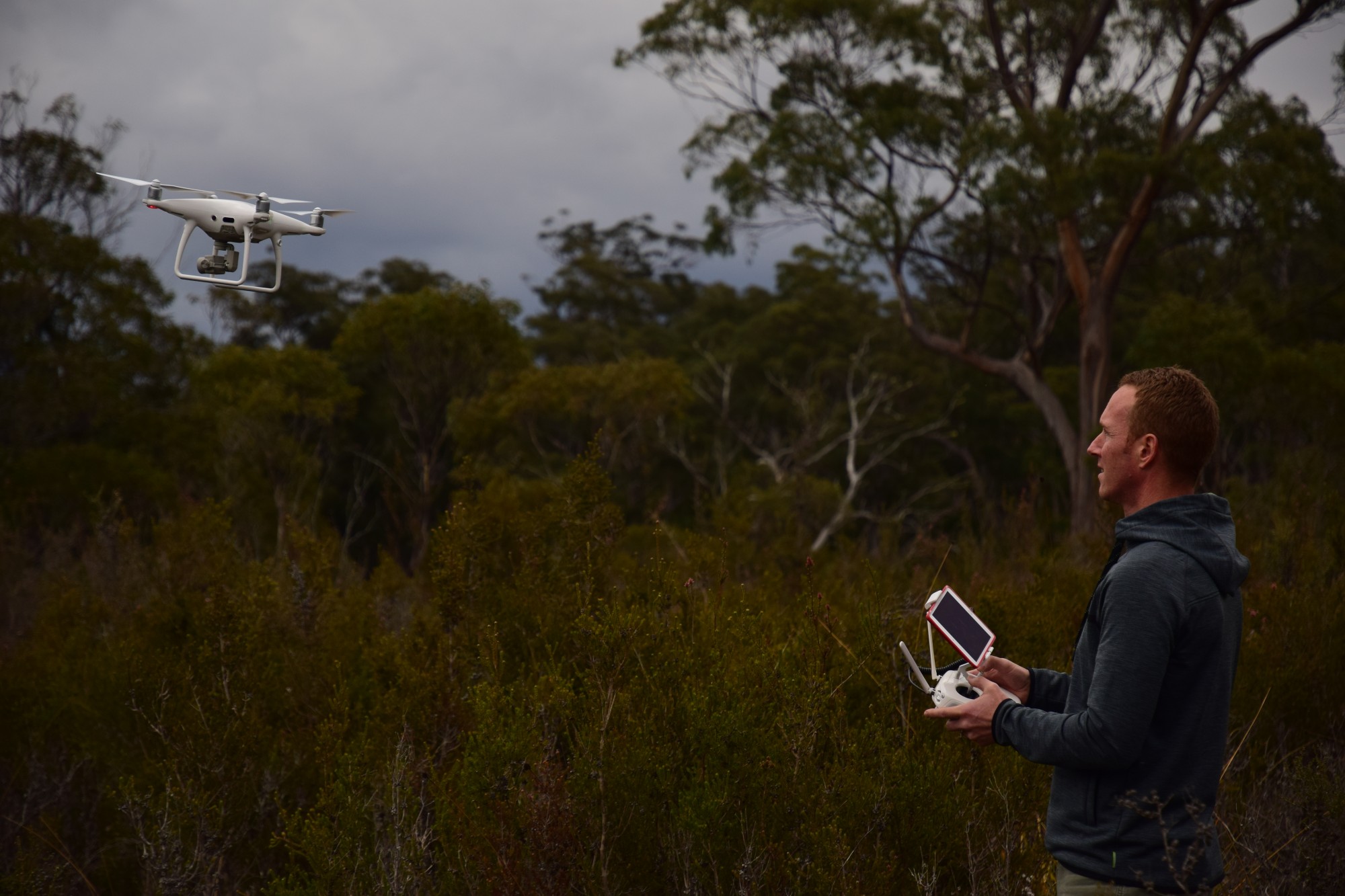
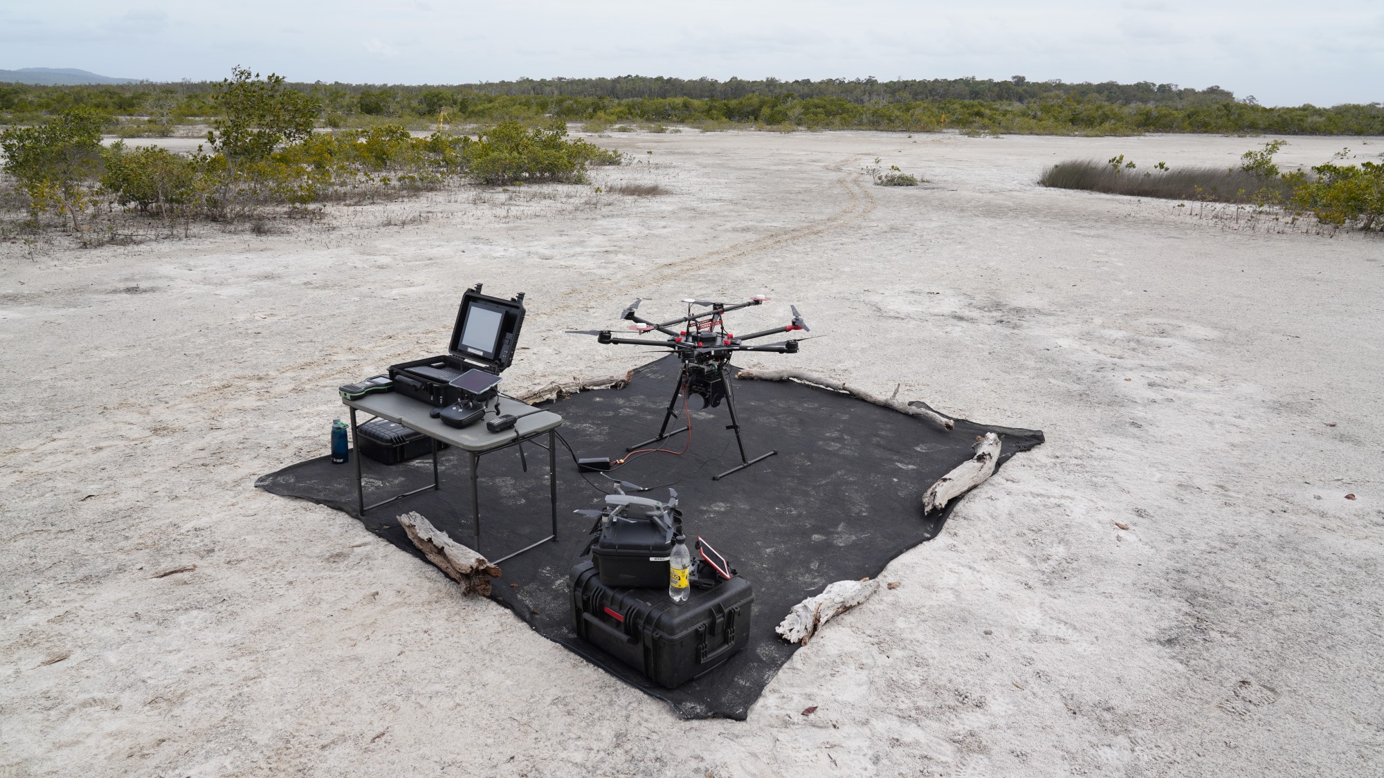
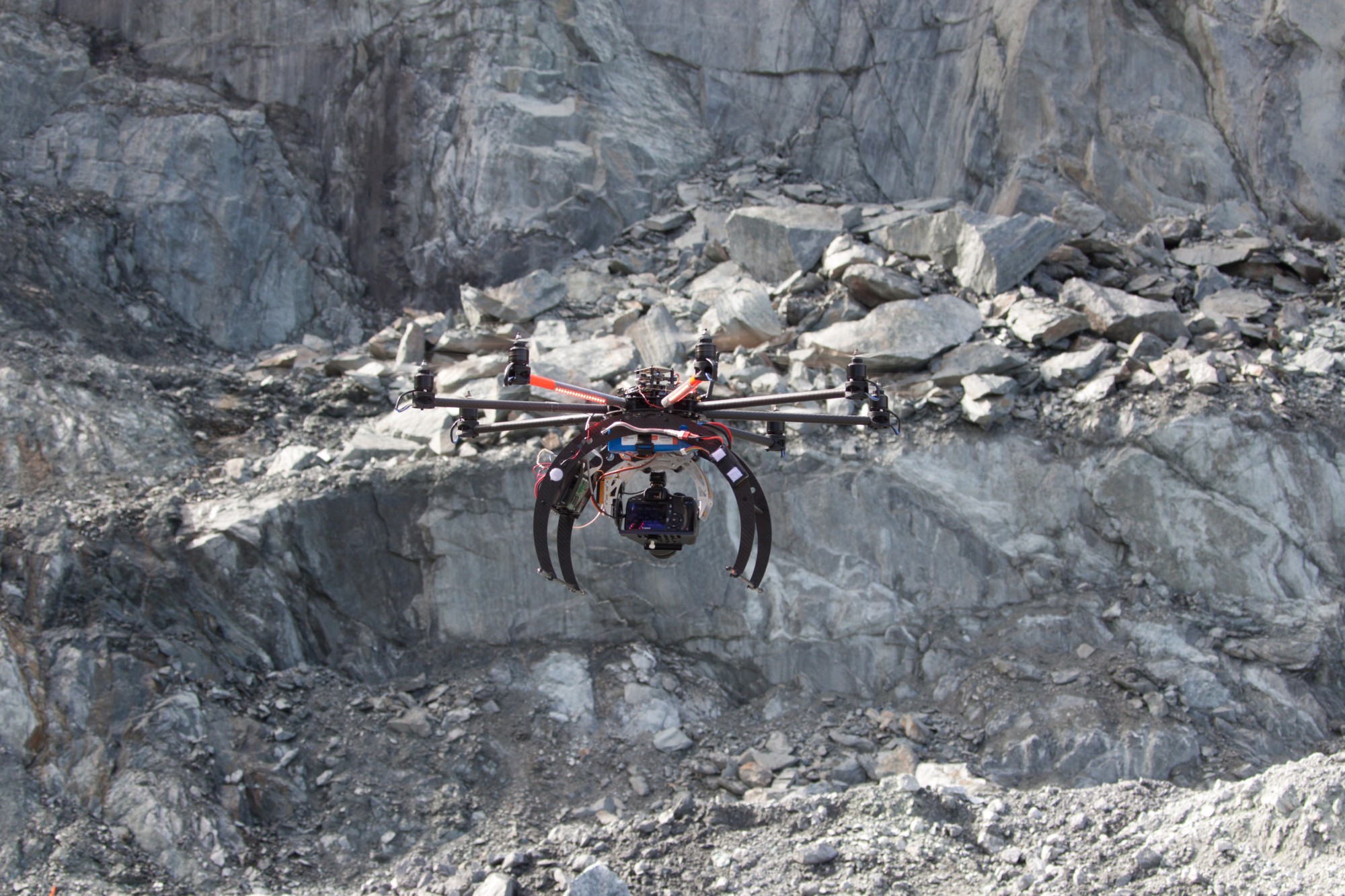
TerraLuma has been pioneering the use of drones for remote sensing since 2009 with early custom-built platforms and sensor integration efforts. These efforts continue with rise of off-the shelf drone solutions, and TerraLuma remains active in applying and adapting these systems to a broad range of applications.
Current UAS platforms
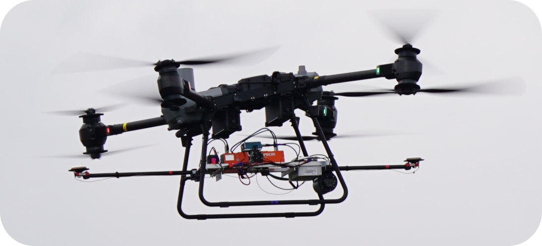
The DJI FlyCart 30 is a delivery drone that has been adapted by the team with a custom gimbal allowing for multiple sensors to be flown at once. In 2024, the first successful flight was conducted with the Specim FX10 and Specim FX17 collecting data simultaneously.
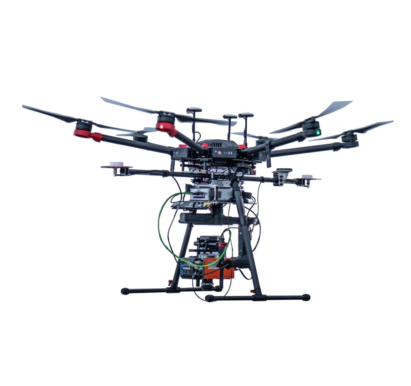
The recently retired DJI Matrice 600 has been responsible for the collection of hyperspectral data as part numerous studies including moss health in Antarctica, co-alignment of hyperspectral and RGB imagery, water stress studies and the SRIX4VEG: Surface Reflectance Intercomparison Exercise for Vegetation in Calperum, South Australia.
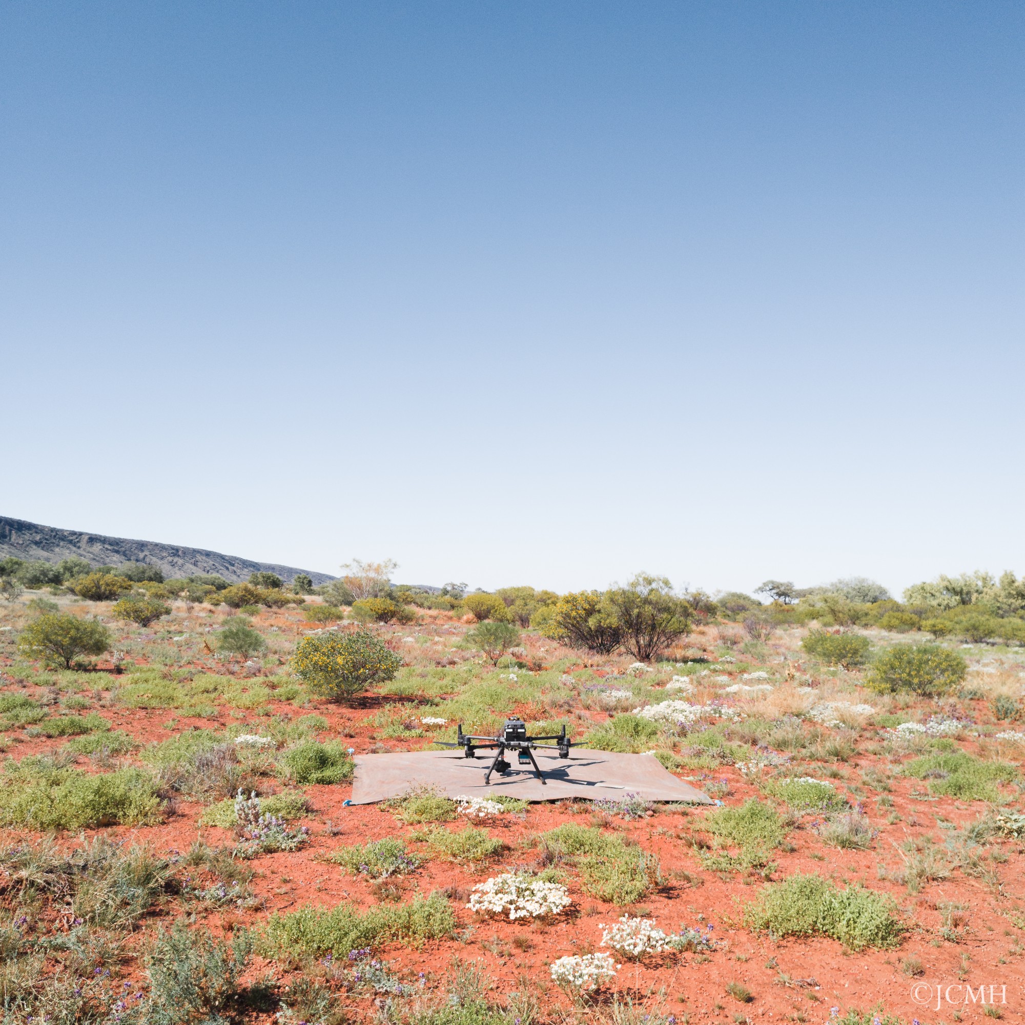
The current focus for the DJI Matrice 350 is the DroneScape project, with RGB, multispectral and LiDAR data being collected across at TERN AusPlot's nationally. This aims to increase the rate at which TERN can monitor changes in ecosystems and address the spatial gap between field based and satellite scale observations.
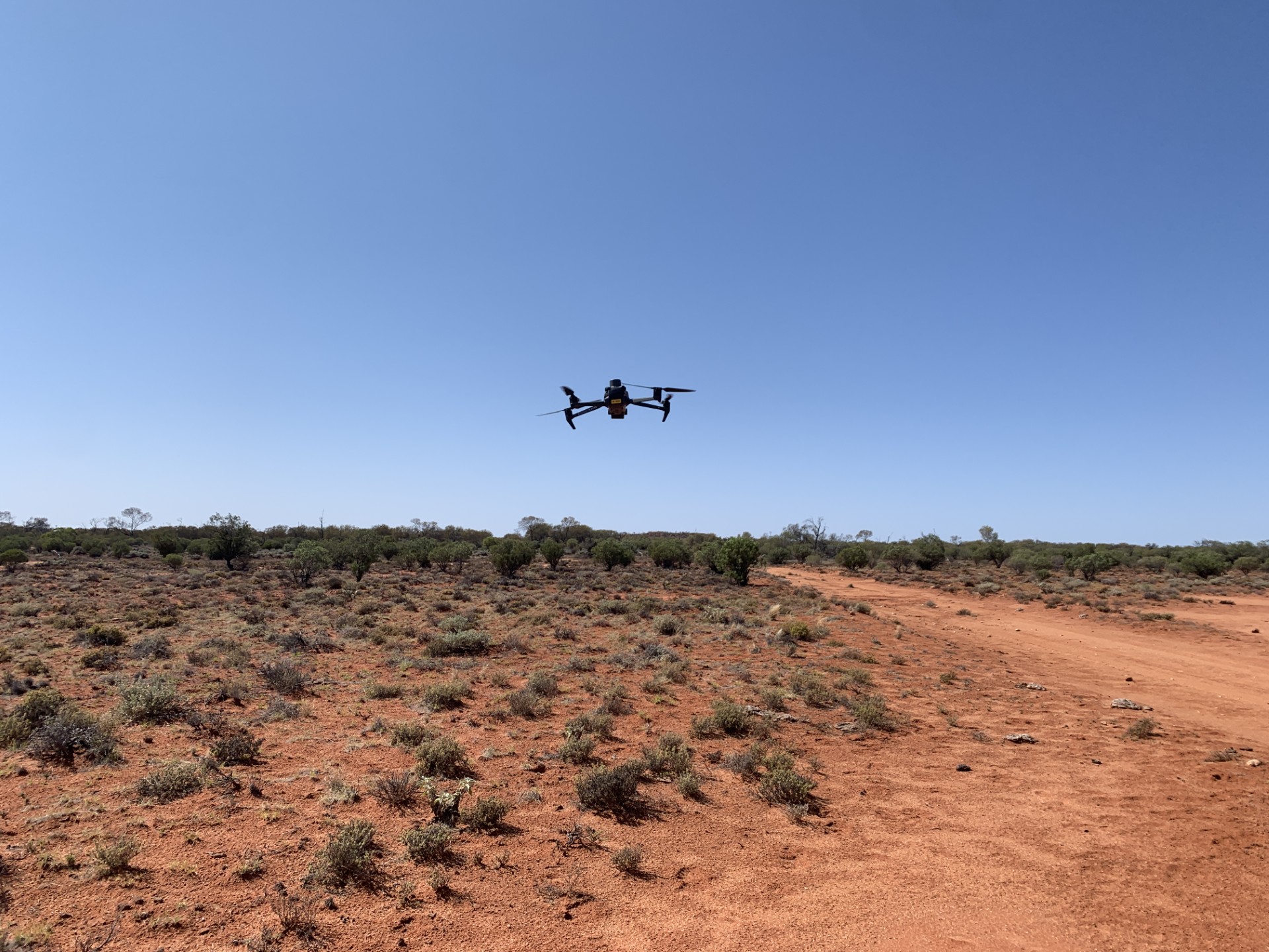
The Mavic 3 Multispectral drones were acquired for the NatureScan project, and are currently collecting RGB and four bands of multispectral data across diverse ecosystems nationally. This data will inform research efforts to place this technology in the hands of land managers for biodiversity assessments.
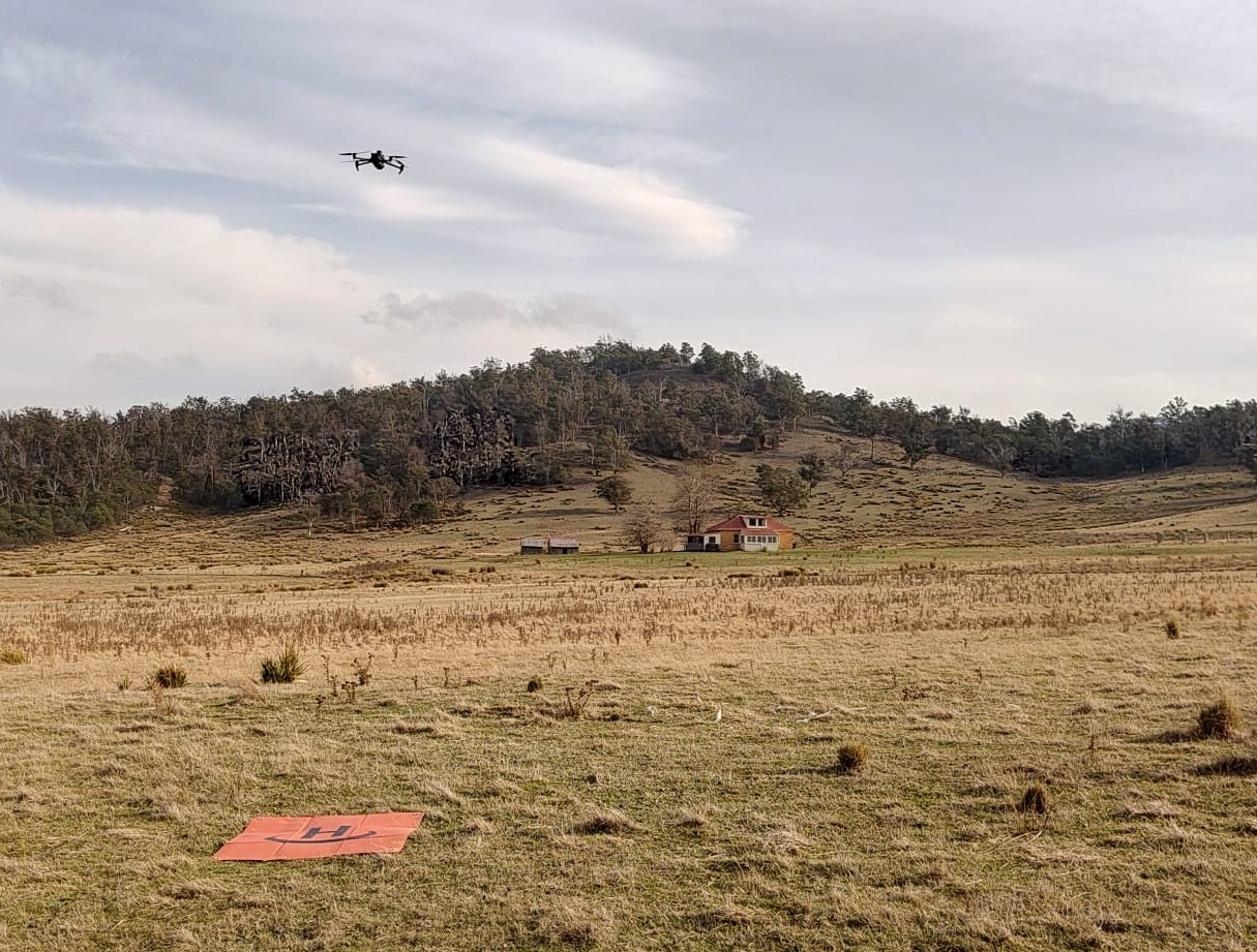
The DJI Mavic 3T drone provides a way to easily obtain data for numerous applications including mapping burrow-nesting seabirds and precision agriculture.
Current sensors
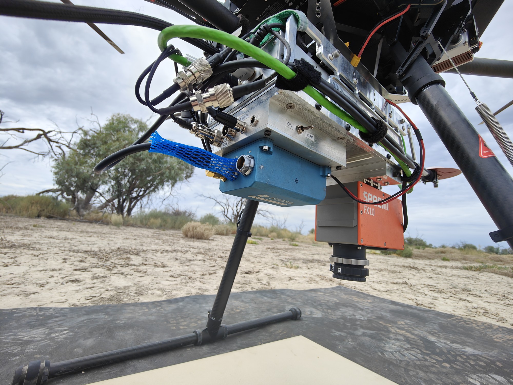
A hyperspectral sensor operating in the visible and near-infrared region, which can provide key insight into vegetation health. The Specim FX10 has been collected data for studies relating to mapping functional diversity of canopy physiological traits and water stress indicators in Eucalypts.
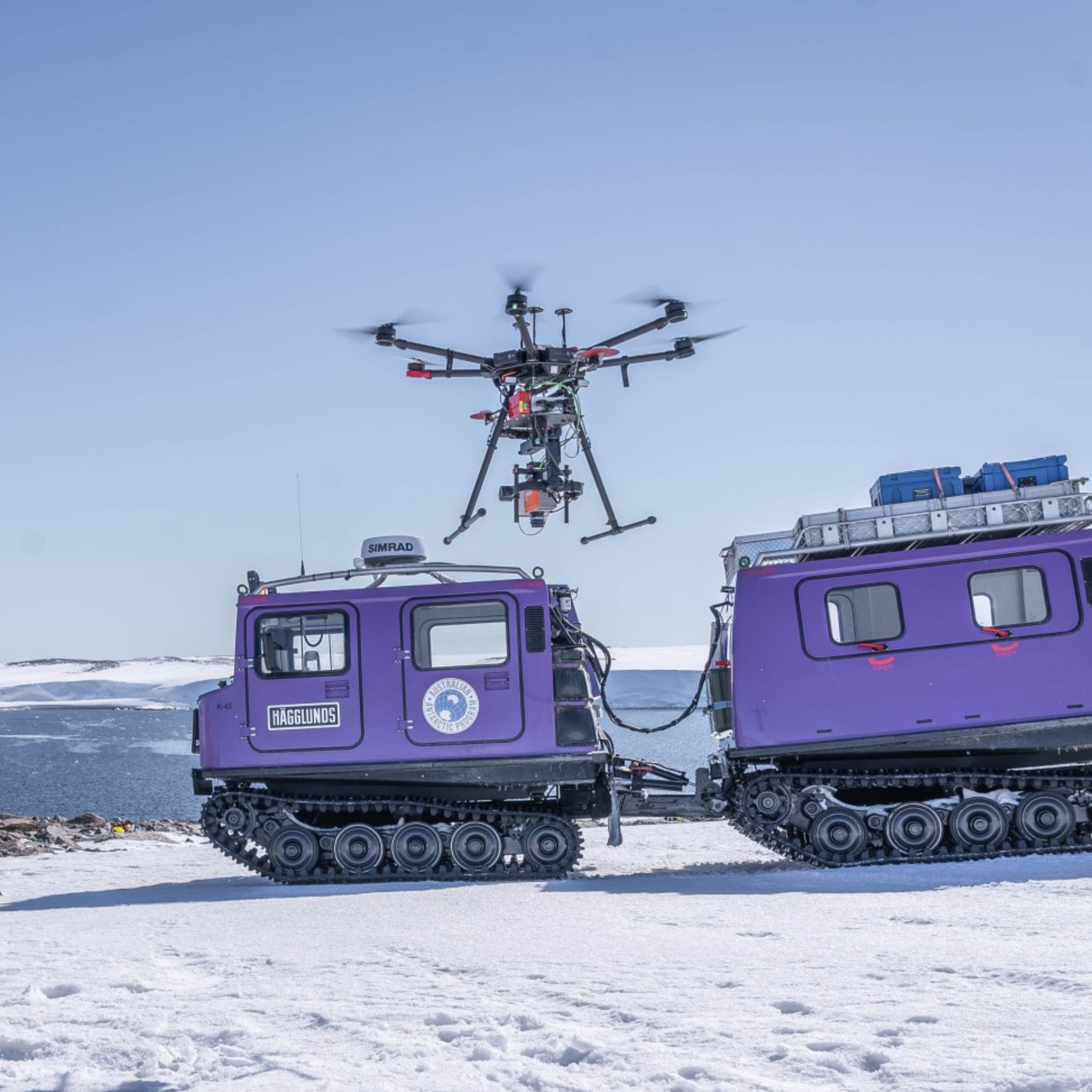
A hyperspectral sensor operating in the short-wave infrared region that provides insight into vegetation health. The Specim FX17 has collected data in Antarctica relating the water content of moss beds and at sites in Tasmania for water stress studies.
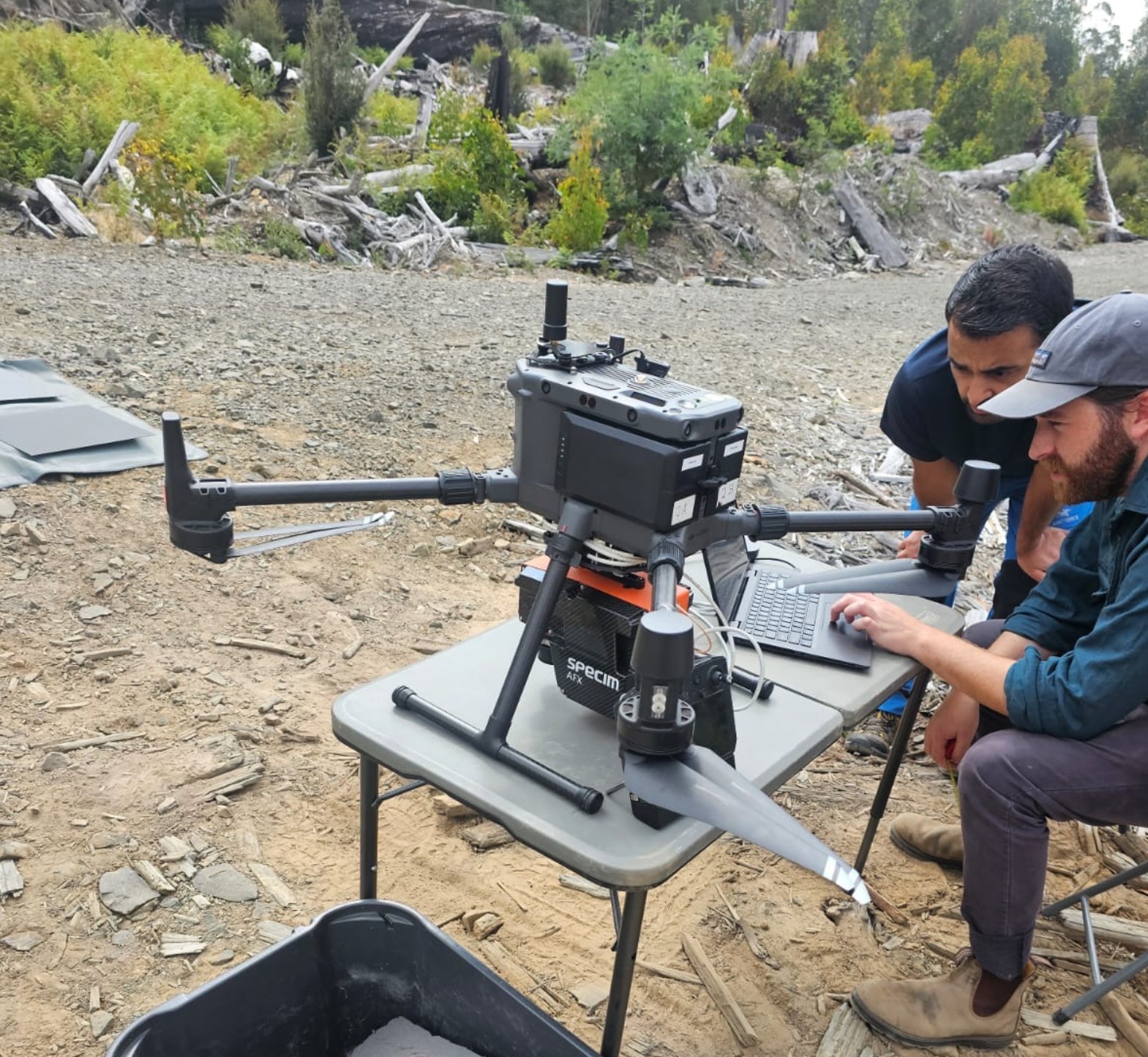
The Specim AFX17 is a hyperspectral sensor operating in the short-wave infrared region that is relevant to soil moisture, plant health and stress, advanced vegetation analysis and species identification.
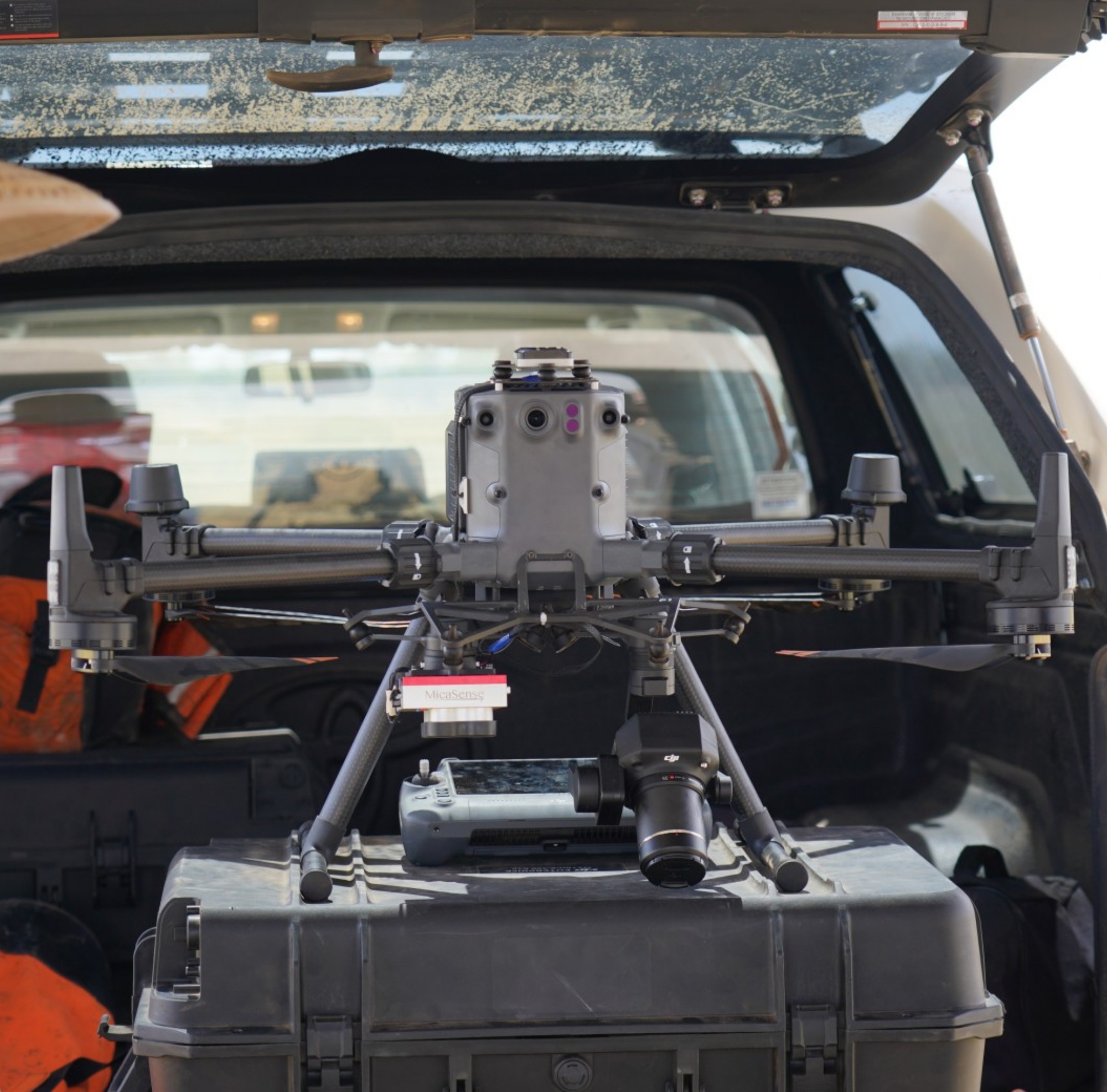
Collecting 10 bands of multispectral data from the blue to near infrared spectrum, the MicaSense RedEdge-P Dual sensor is currently being deployed across the country collecting data for the DroneScape project.
Previous research by TerraLuma using the MicaSense sensor includes tree detection and species classification, with current reserach foucsing on developing deep learning techniques to estimate fractional vegetation cover in Australian Semi-arid ecosystems.
The DJI P1 Zenmuse mapping camera is used frequently for projects by TerraLuma, and is a key sensor being used nationally for the DroneScape project.
Previous research and applications of the P1 camera have ranged widely, from night-time light studies to co-alignment techniques of hyperspectral and RGB data.
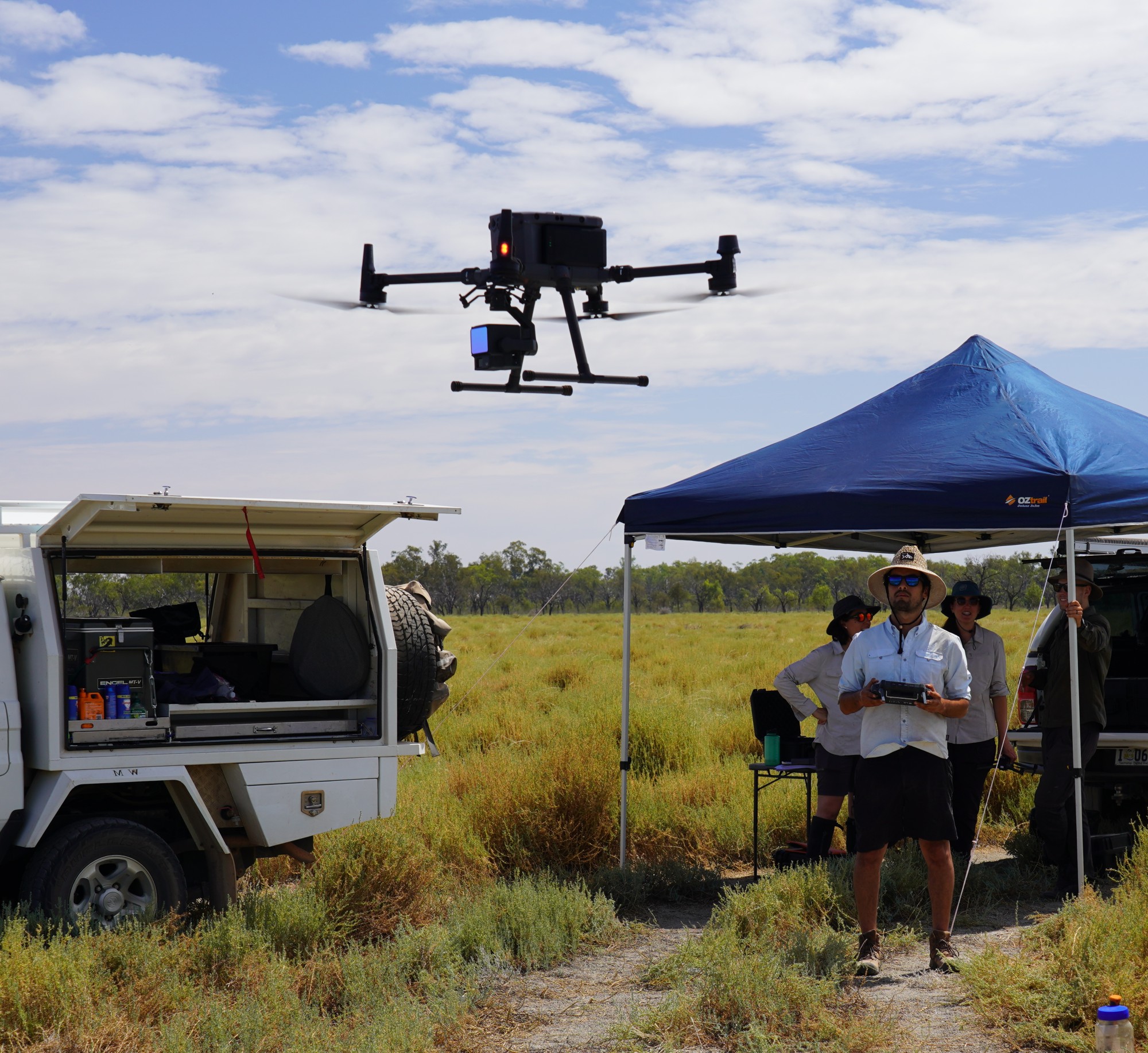
The DJI Zenmuse L2 sensor collects detailed LiDAR point clouds, with the sensor being widely used in TerraLuma's current research on ecosystem monitoring and forestry. The L2 sensor is being deployed nationally as part of the DroneScape project to collect detailed LiDAR data of all TERN AusPlot's.
Retired UAS platforms and sensors
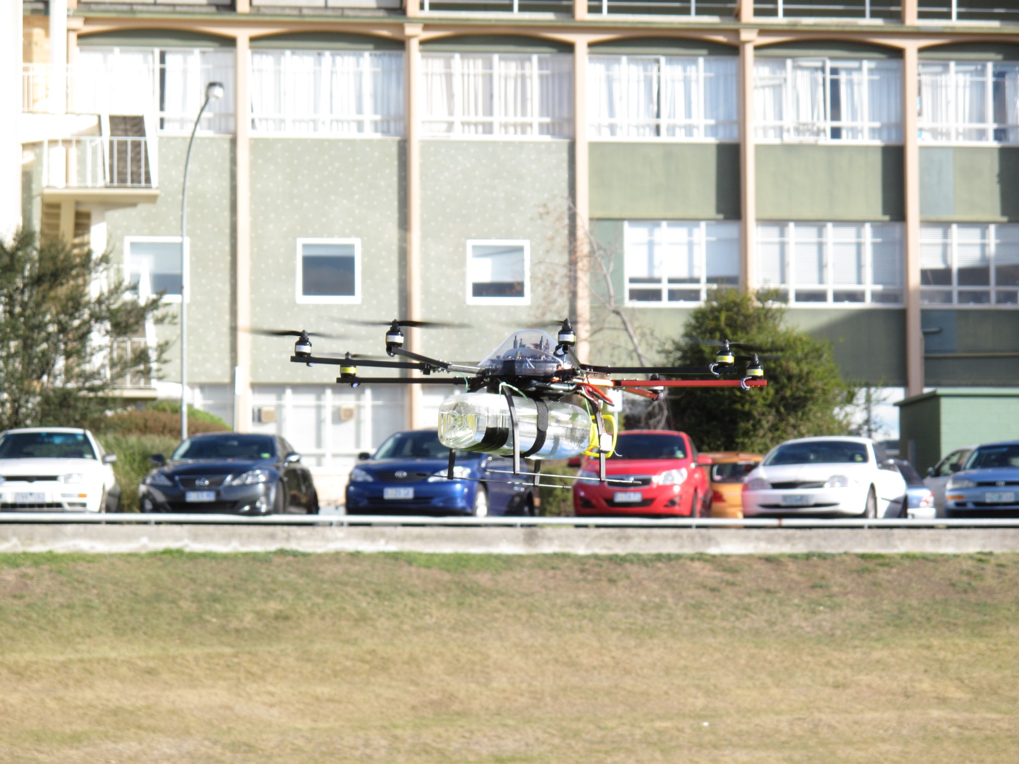
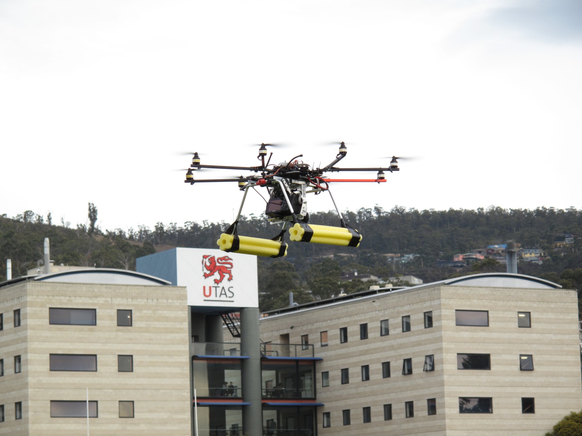
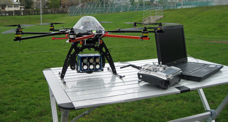
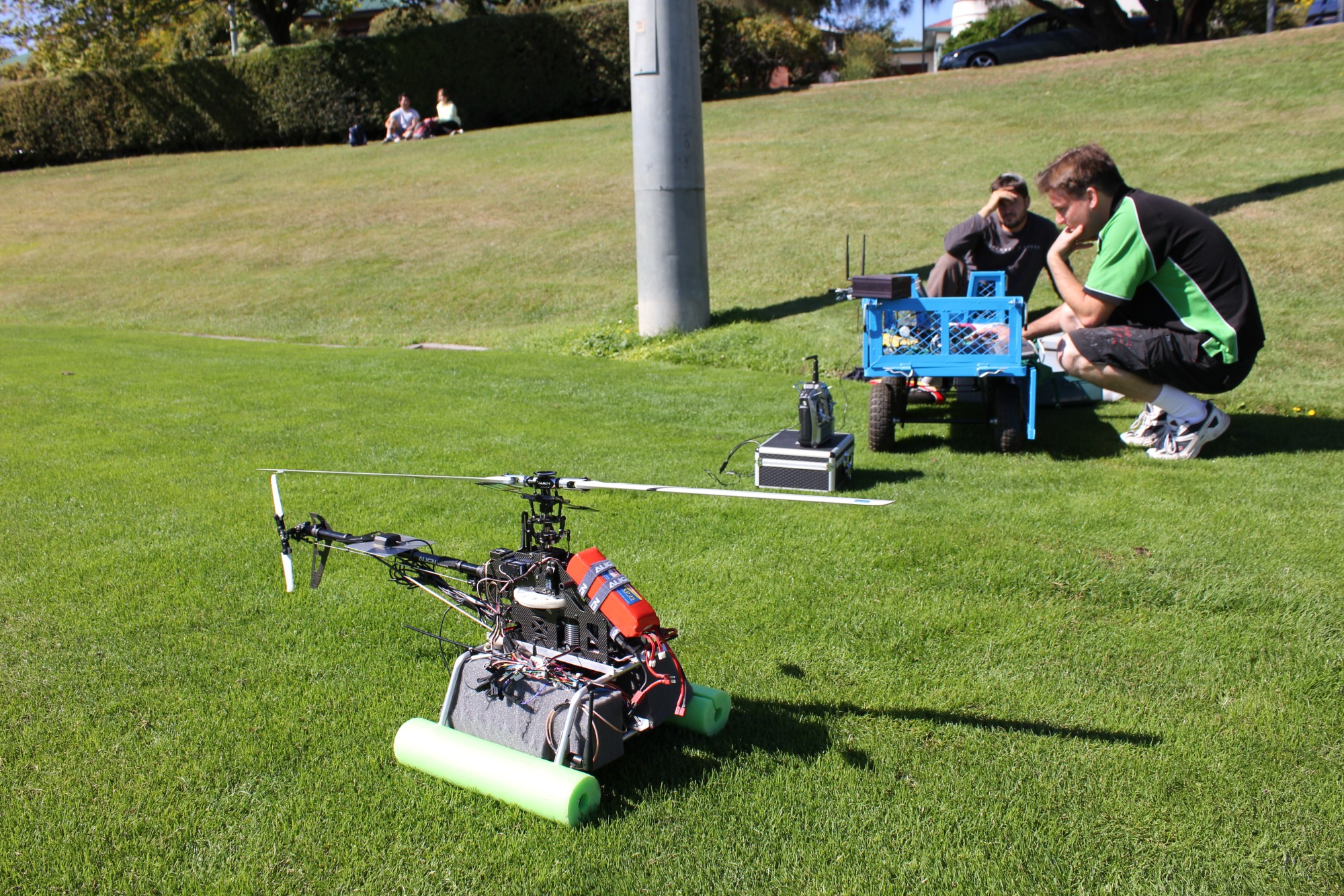
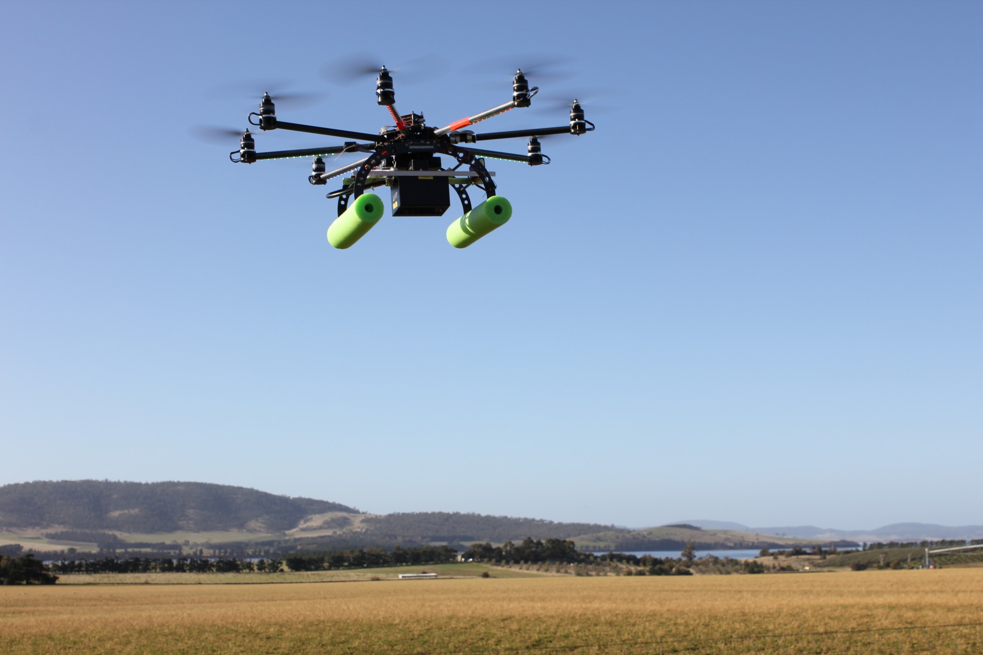
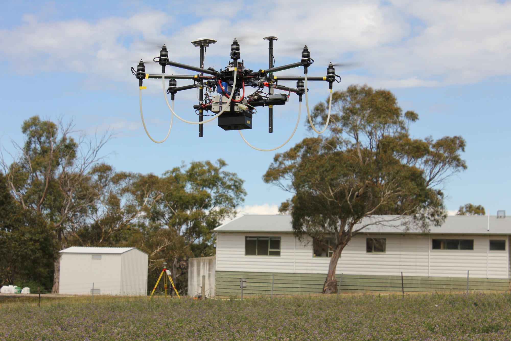
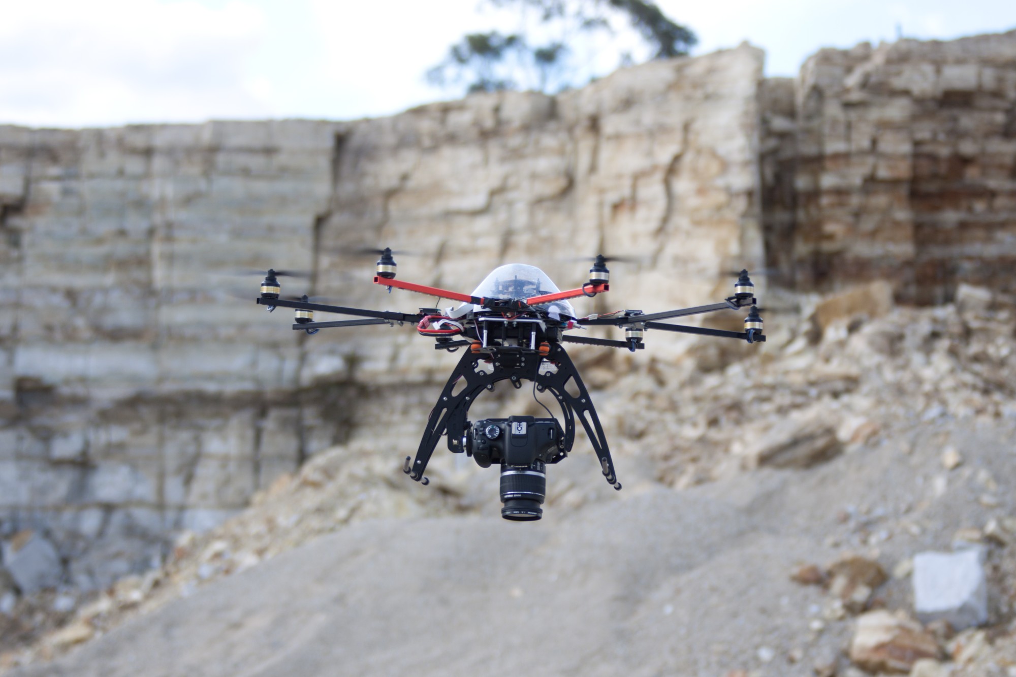
Early multirotor systems
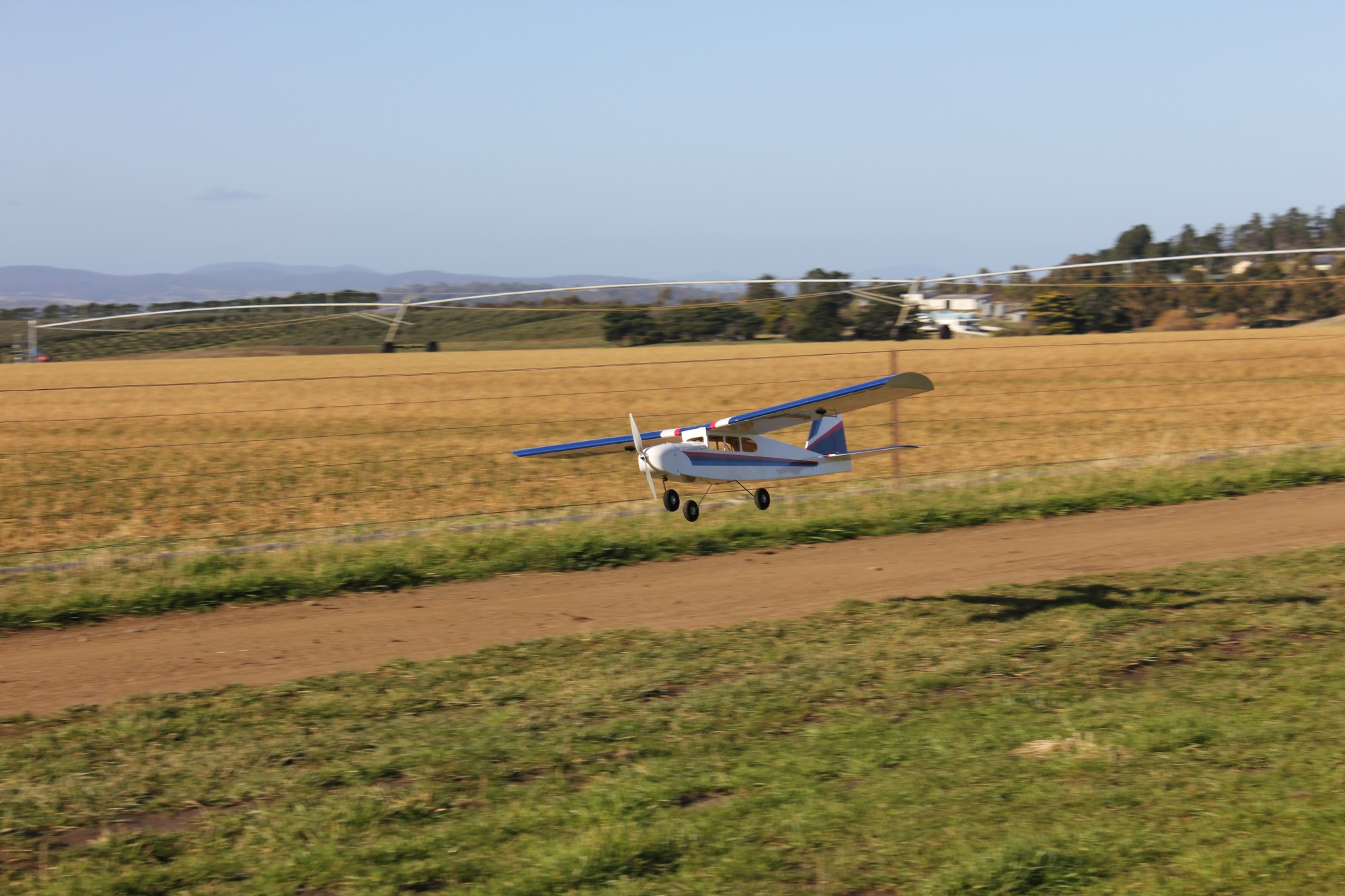
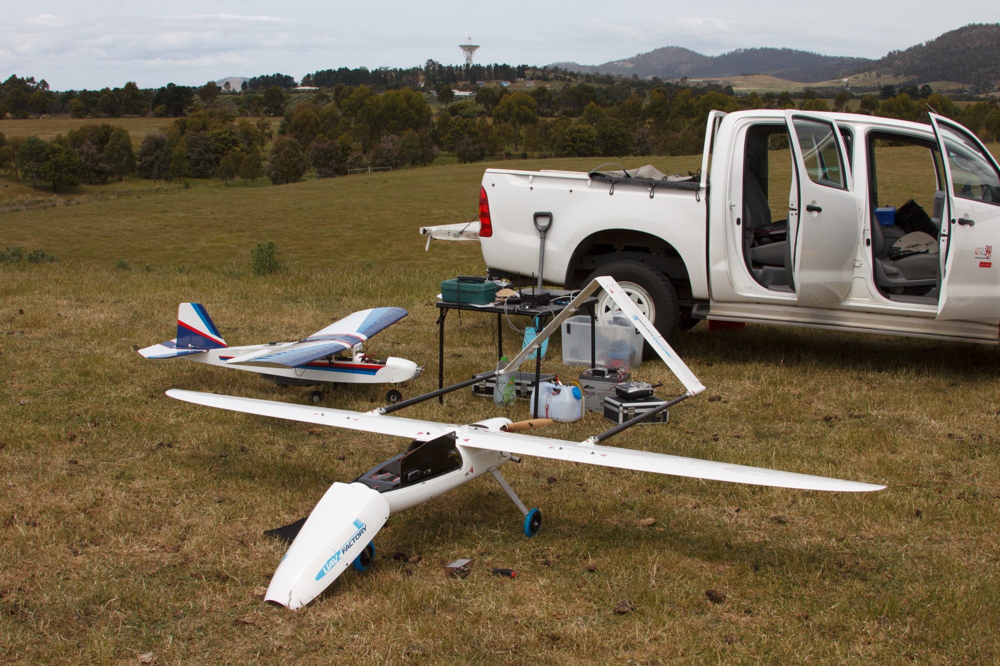
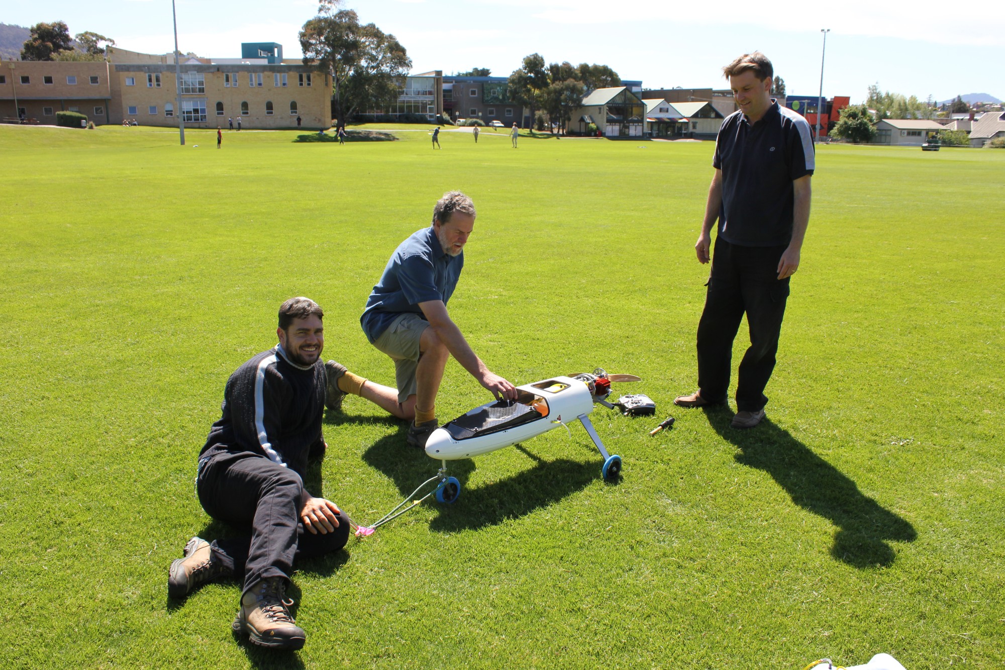
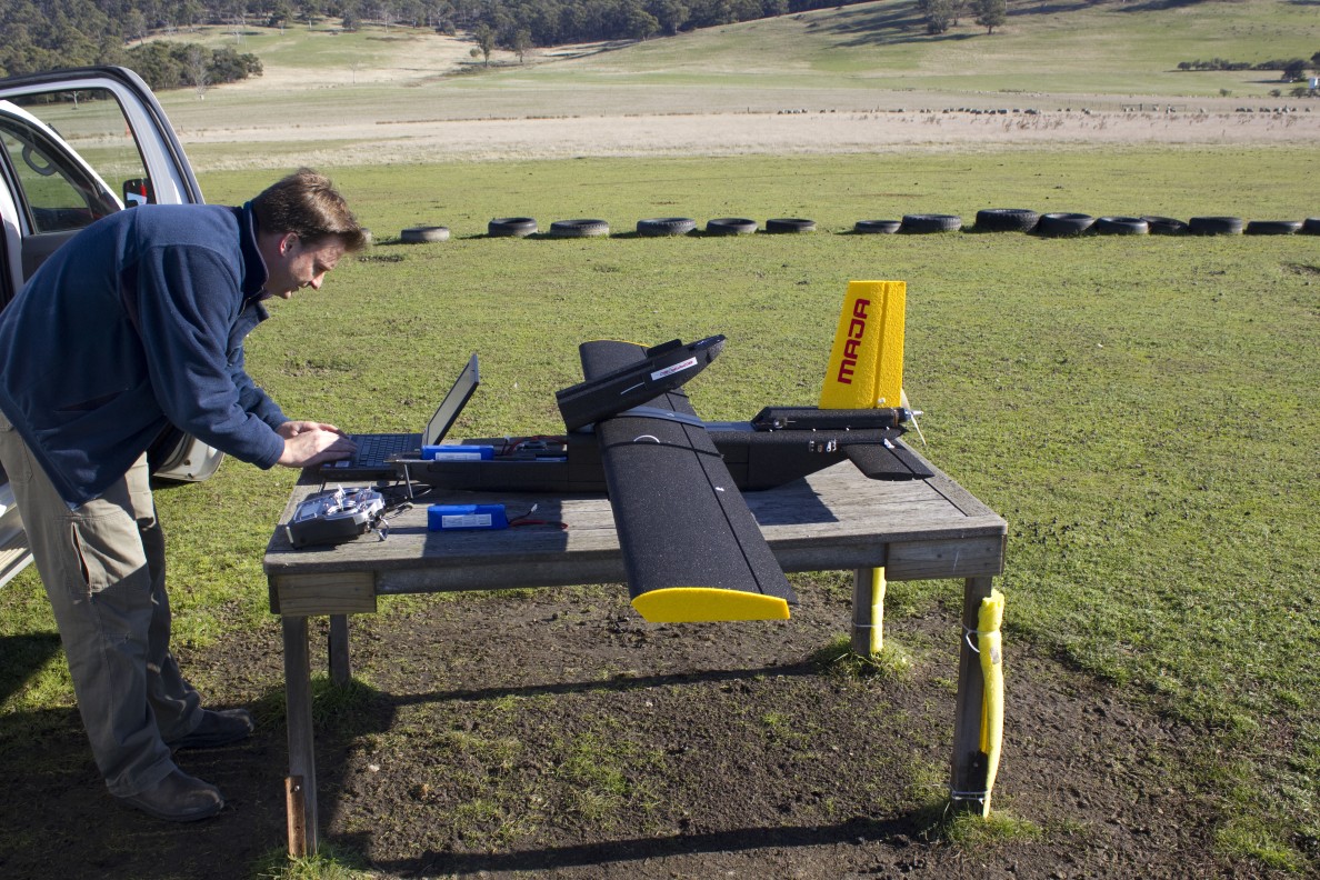
Fixed wing systems
Drones for 3D data capture
The rise of off the shelf systems