

Get to know our team
Our multidisciplinary team brings together deep expertise in drone sensor integration, image processing, and quantitative remote sensing.
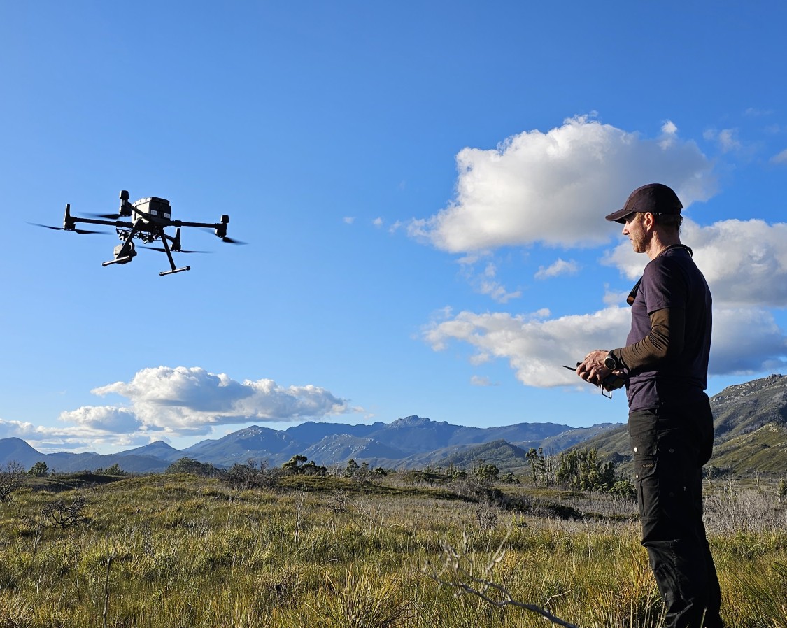
Professor Arko Lucieer
Head of School, GPSS and Team Leader of TerraLuma Research group
I am the founder and team leader of the TerraLuma research group. I am a Professor in Remote Sensing and Head of School, Geography, Planning, and Spatial Sciences.
As the lead investigator, I supervise the development and utilisation of drone remote sensing technologies across a broad spectrum of applications. Drone remote sensing has revolutionised our ability to map the environment. Drones serve as a bridge across the scale gap between detailed field measurements and regional satellite observations, thereby enhancing our capacity to quantify plant traits and dynamics.
The recent focus of my team is on advancing remote sensing for biodiversity mapping and the assessment of ecosystem dynamics at various spatial and temporal scales.
Dr Darren Turner
Chief Controller RPA operations, University of Tasmania
As the Chief Controller, Darren oversees drone operations at TerraLuma and at the University of Tasmania. His PhD (2015) focused on georectifying UAS imagery without ground control points and using drones for landslide monitoring. Since then, he has led research using drones for vegetation mapping, including Antarctic moss health and bushfire damage.
At TerraLuma, he maintains drone systems, integrates sensors, and supervises PhD students, while supporting drone-based fieldwork and research projects.
Dr Steve Harwin
Steve has been a researcher, field scientist, programmer, tutor, and lecturer at the University of Tasmania since 2009. He has also worked commercially as a mapping consultant and drone pilot.
Steve has experience in surveying, photogrammetry, GIS, satellite and drone-based remote sensing, 3D data capture, 3D modelling and analysis, environmental monitoring, change detection, web mapping and software engineering.
He has lectured and tutored in basic and advanced GIS, 3D data capture and analysis, cartography, remote sensing, photogrammetry, surveying, drone mapping and entrepreneurship. Steve’s research focusses on using GIS, remote sensing and photogrammetric image processing techniques and 3/4D (& nD) data capture to detect and visualise change.
Dr Emiliano Cimoli
Dr. Emiliano Cimoli specialises in hyperspectral and RGB imaging for mapping biophysical properties of marine and terrestrial ecosystems. His research focuses on fine-scale biophysical traits and their ecological impacts.
He earned his PhD at UTAS (IMAS), developing hyperspectral imaging for Antarctic ice algae mapping, and later joined TerraLuma as a postdoctoral fellow focusing on terrestrial plant biodiversity. In 2024, he received a JSPS Postdoctoral Fellowship to collaborate with Hokkaido University on Short-Wave Infrared (SWIR) imaging for sea ice research.
He is particularly interested in retrieving fine-scale environmental attributes and understanding their influence on larger-scale ecosystem dynamics and biogeochemical processes.
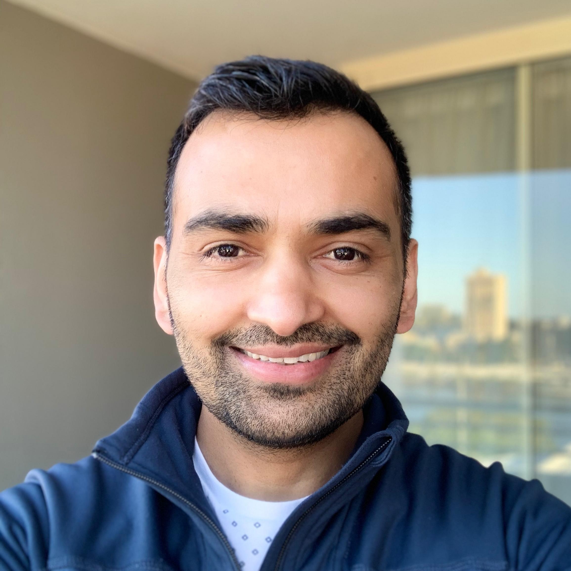
Dr Krishna Lamsal
Research Associate (2024 – present)
Krishna’s research interest lies in the field of optical remote sensing, and laboratory and field spectroscopy using Unoccupied Airborne Systems (UAS), airborne- and spaceborne imagery for terrestrial ecosystem monitoring.
His current research involves the quantitative estimation of vegetation functional traits and dynamics using high-resolution hyperspectral imagery, medium-resolution satellite data, machine learning, radiative transfer modelling and time series analysis. Dr. Krishna earned his Ph.D. in Geomatics Engineering from the University of Tasmania (2024). Prior to this, he completed the Erasmus Mundus Joint Master’s Degree (2015 – 2017) in Geo-information Science and Earth Observation for Environmental Modelling and Management (GEM). This double degree was jointly conferred by the Faculty of Geo-information Science and Earth Observation (ITC), University of Twente, the Netherlands, and Lund University, Sweden.
Before 2015, Krishna worked in the environmental services and non-government sector, contributing to impactful projects in forestry, biodiversity conservation, natural resource management, and climate change adaptation.
Email: Krishna Lamsal | LinkedIn
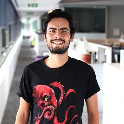
Dr Juan Carlos Montes-Herrera
Research Associate (2024 – present)
Dr. Juan C. Montes-Herrera is a marine biologist specialising in remote sensing and ecological monitoring. His research focuses on using underwater and aerial imaging technologies to analyse ecosystems at different scales.
He is currently a postdoctoral researcher with Prof. Arko Lucieer and Assoc. Prof. Ben Sparrow on the DroneScape project, which integrates drones into the Australian Terrestrial Ecosystem Research Network (TERN) to bridge the gap between satellite and field-based monitoring. The project deploys commercial sensors, including multispectral and LiDAR, and develops standardised workflows to expand field coverage and enhance the resolution of environmental data.
Email: Juan Carlos Montes-Herrera | LinkedIn
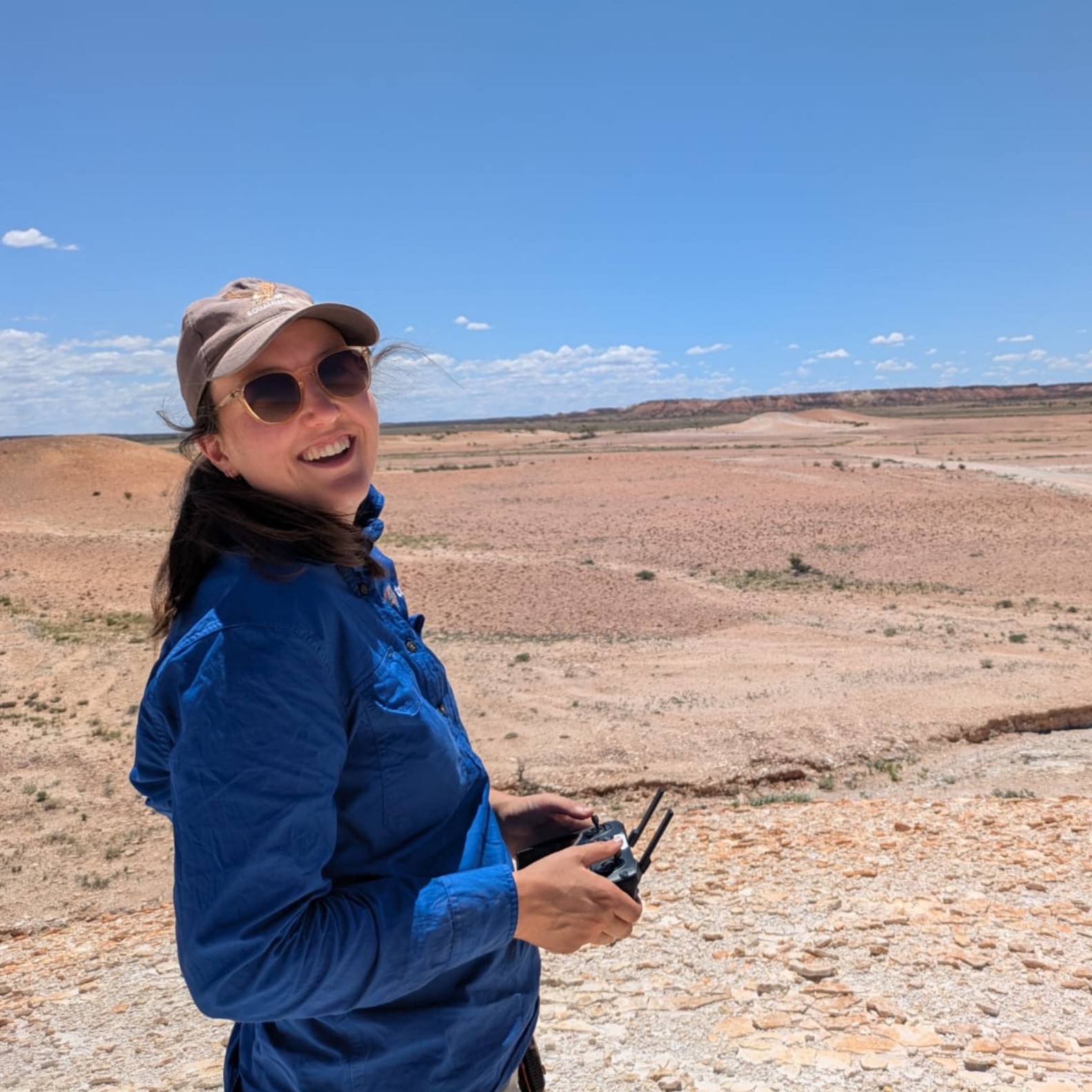
Alice Robbins
Research Associate (2024 – present)
Alice is a spatial scientist with a passion for the application of remote sensing for environmental monitoring, land management and conservation. She is experienced in leveraging drone data, including LiDAR, RGB and multispectral imagery, and integrating this with ecological knowledge to develop methods for ecosystem monitoring and biodiversity modelling.
She completed her Master of Environmental Geospatial Science at the University of Tasmania in 2023. Her research focused on combining ecological knowledge with remote sensing techniques to mapping threatened grassland communities using ultrahigh-resolution RGB imagery. She has since been working on the NatureScan project, which aims to advance the use of consumer-grade drones for ecosystem monitoring.
Email: Alice Robbins | LinkedIn
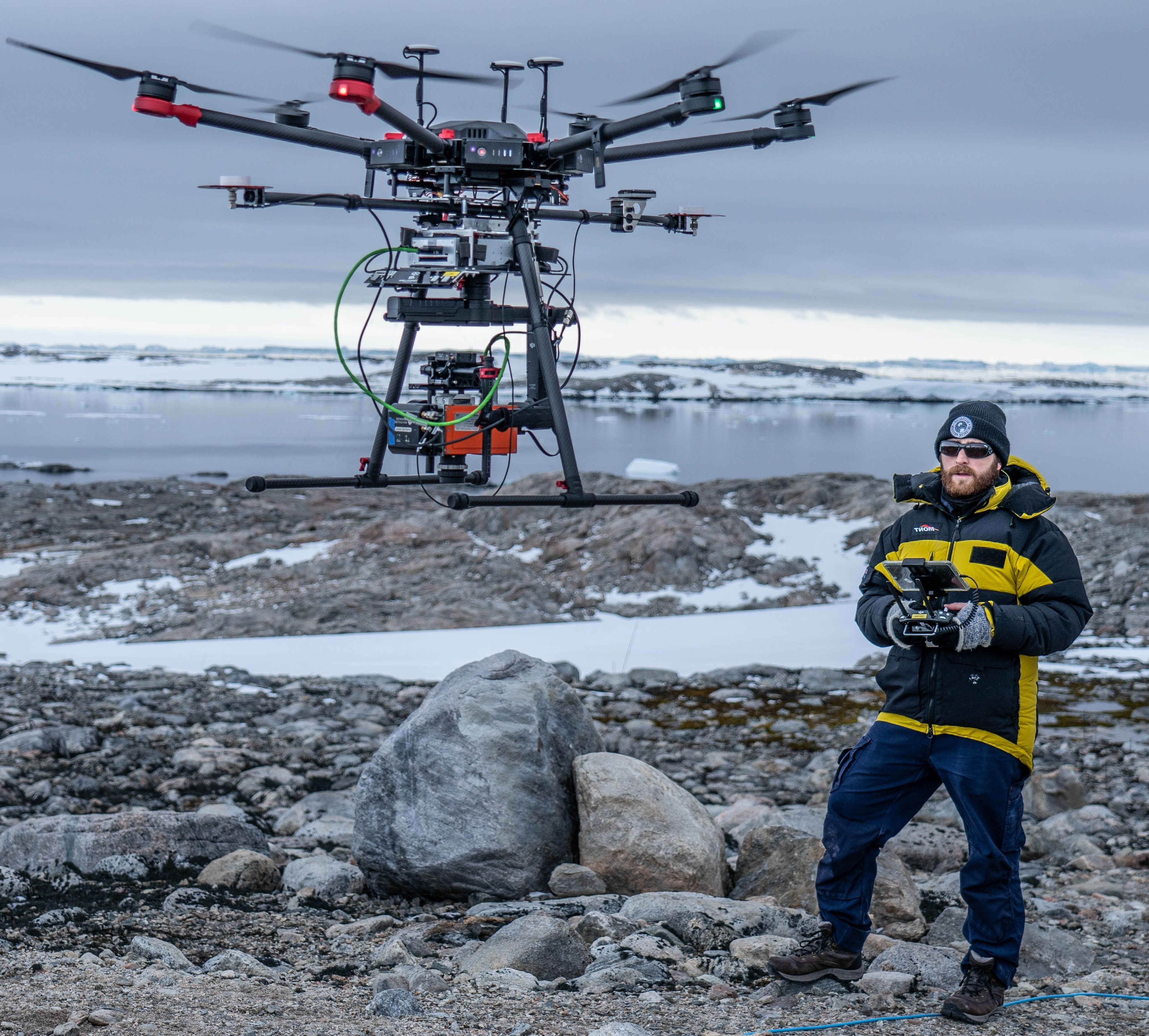
Ryan Haynes
Research Fellow (2025 - present)
PhD Candidate (2022 – present) - Advancing Hyperspectral Imaging from a Drone for Ecosystem Monitoring
Ryan's research focuses on UAS hyperspectral imaging for terrestrial ecosystem monitoring. His PhD aims to develop processing workflows and analysis techniques to help better understand natural ecosystem processes, with a particular focus on water stress dynamics of native vegetation.
He earned a Bachelor of Science with Honours in GIS & Remote Sensing from the University of Tasmania in 2022 before starting his PhD. With TerraLuma, he has contributed to projects monitoring Antarctic moss stress and identifying Huon Pine stands using hyperspectral imagery. Recently, he began a part-time role as a Graduate Teaching Fellow, contributing to GIS and Remote Sensing education at the University of Tasmania.
Email: Ryan Haynes | Website: ryanhaynes.net
Gigi Lynn
Research Associate (2025 - present)
Gigi is a geospatial scientist specialising in remote sensing for vegetation health and ecosystem resilience. She is currently a research associate with Prof. Arko Lucieer and Assoc. Prof. Ben Sparrow on the DroneScape project, which integrates drone technology into the Australian Terrestrial Ecosystem Research Network (TERN). Her work contributes to developing open-access, high-resolution environmental datasets using multispectral and LiDAR sensors.
She recently completed her Master of Environmental Geospatial Science at the University of Tasmania (2025), where her research focused on detecting drought-induced stress in Tasmania's eucalypt forests using high-resolution satellite imagery. Gigi brings a multidisciplinary background in microbiology, horticulture, and brewing science. She is particularly interested in how high-resolution open-access data can advance research into climate resilience and ecosystem response.
Email: Gigi Lynn
James Gregory
Research Associate (2025 – present)
James is a geospatial software engineer specialising in drone data platforms. He is a Research Associate working with Prof. Arko Lucieer, Alice Robbins, Chris Callaghan (TERN/UoA) and Ryan Haynes on the NatureScan project. His work focuses on building data pipelines and web-based tooling to improve the accessibility of drone remote-sensing data.
James completed his Master of Environmental Geospatial Science at the University of Tasmania in 2025, with research focused on characterising forest structure using Virtual TAS lidar data. James brings multiple years of software engineering experience and has developed geospatial applications and data-driven stories for government and industry clients.
Email: James Gregory | LinkedIn | Website
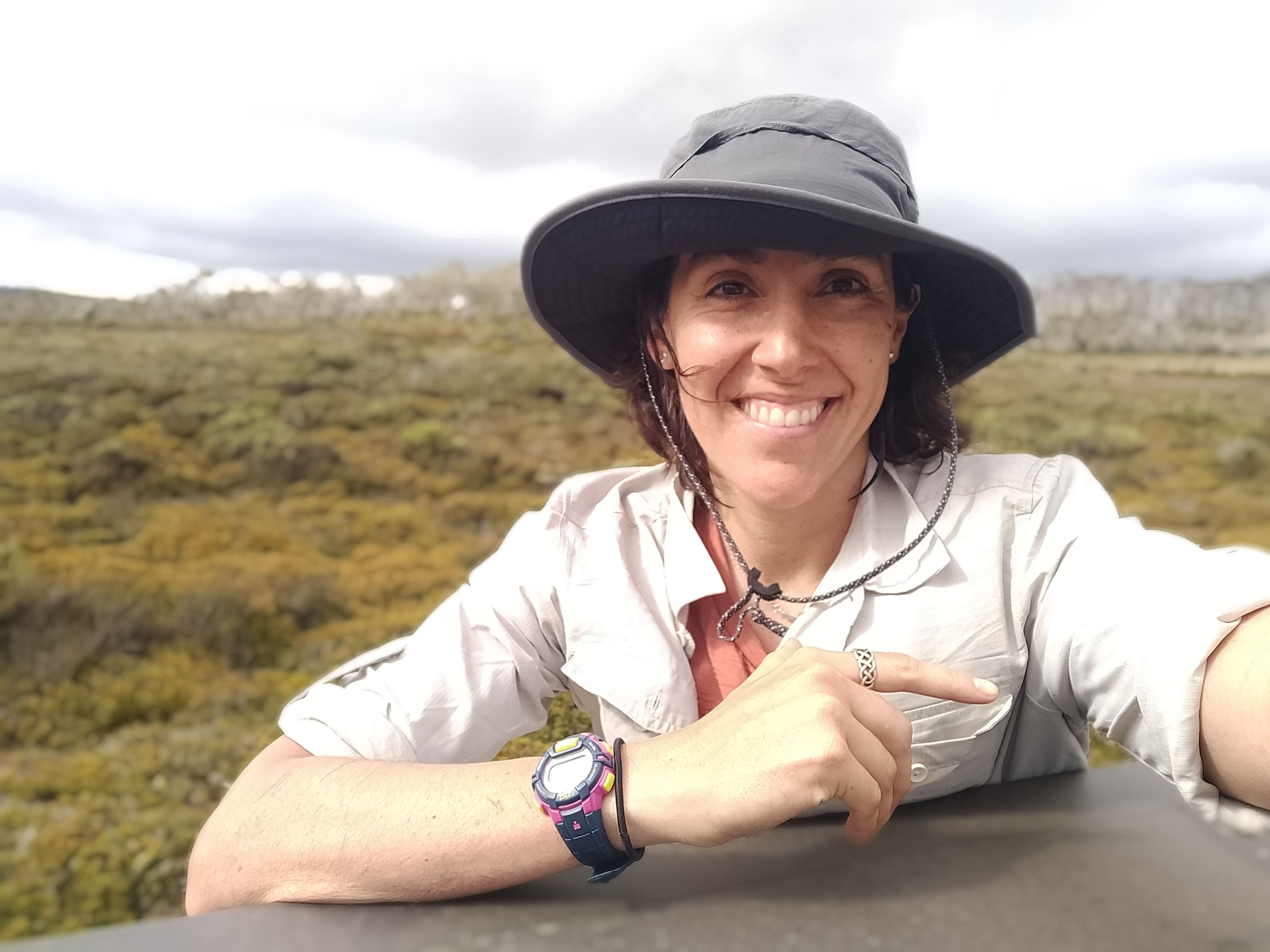
Laura N. Sotomayor
PhD Candidate (2022 – present) - Improved Monitoring of Ecosystem Resilience using High-resolution Remote Sensing
Laura N. Sotomayor is a PhD candidate in Geomatic Engineering (Spatial Sciences), specialising in local-scale UAS (drone) imagery and remote sensing for ecosystem mapping using deep learning. She is a Spatial Analyst for the federal government, focusing on regional-scale ecosystem mapping and diverse geospatial data layers, leveraging high-computing resources. With experience as a GIS Geospatial Developer across different applications, she has worked in GIS consulting and forestry. Laura holds a Master’s Degree in IT and Systems, a Master’s Degree in Renewable Energies, Engineering and Management Studies, and a Bachelor’s in Business Administration. She develops AI-driven geospatial solutions for ecosystem monitoring across various domains.
Email: Laura Sotomayor | Website: Laura Natali Sotomayor | LinkedIn
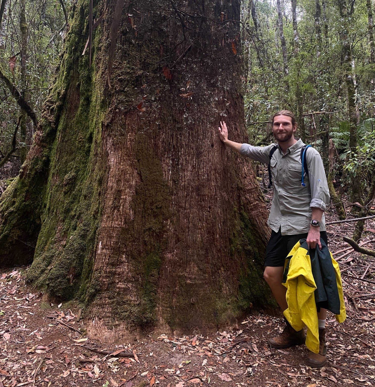
Peter Jackson
PhD Candidate (2025 – present) - Protecting the Old with the New: Finding and Monitoring Tasmania's Prehistoric Conifers Using Remote Sensing and Deep Learning
Peter is fascinated by the spatiotemporal patterns of ecology and what that can tell us about the past and possible future of a landscape. These patterns connect the hyperlocal to the global, and the instant to the eon. Human activity is having a profound impact on this complicated web of connections, but quantifiable evidence is essential to inform action. Peter's research aims to explore how we can uncover these connections in high fidelity by applying advanced machine learning algorithms to data from accessible remote sensing hardware. His goal is to make sure that technology has a lasting, meaningful, and positive impact on the environment.
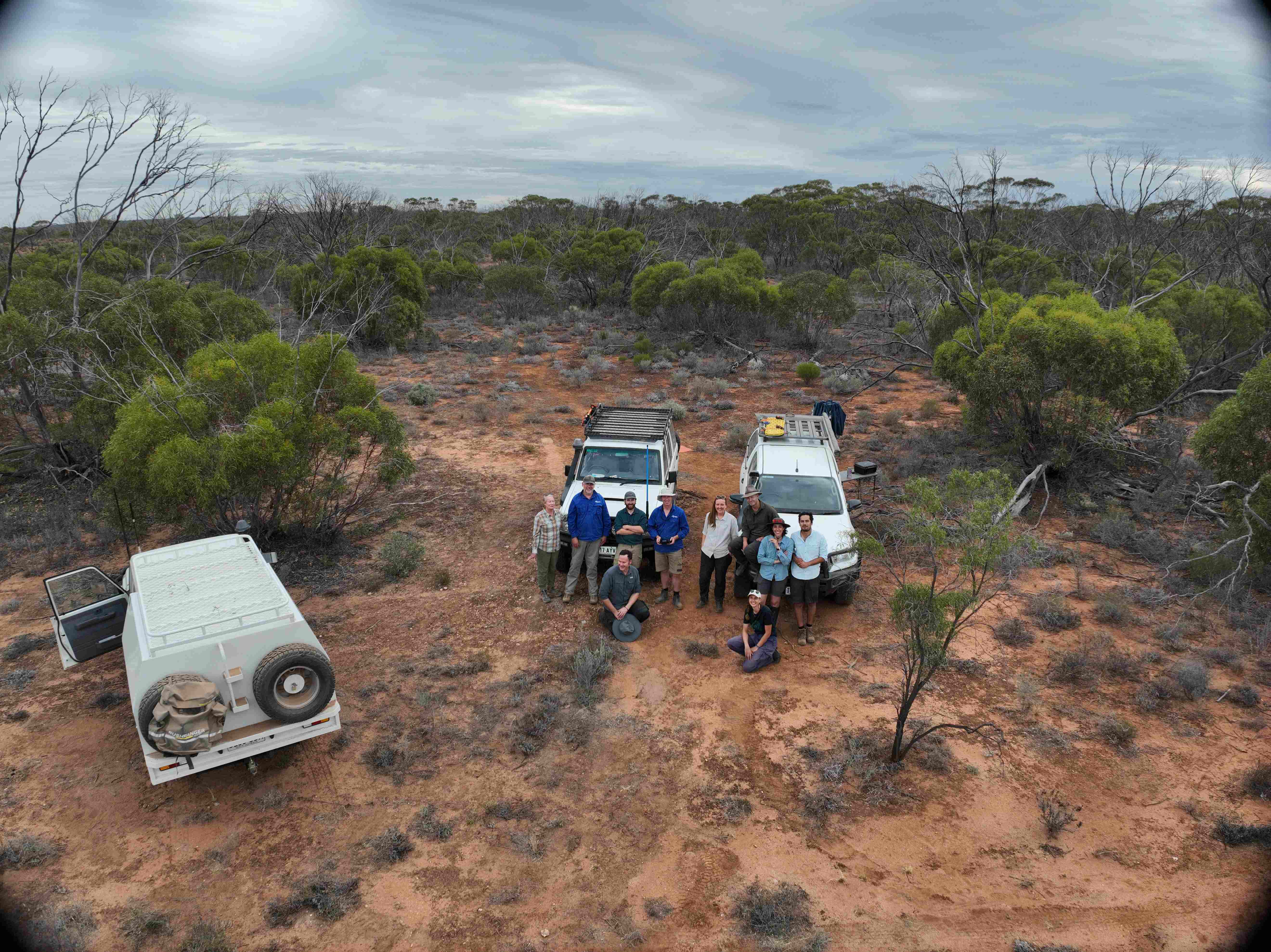
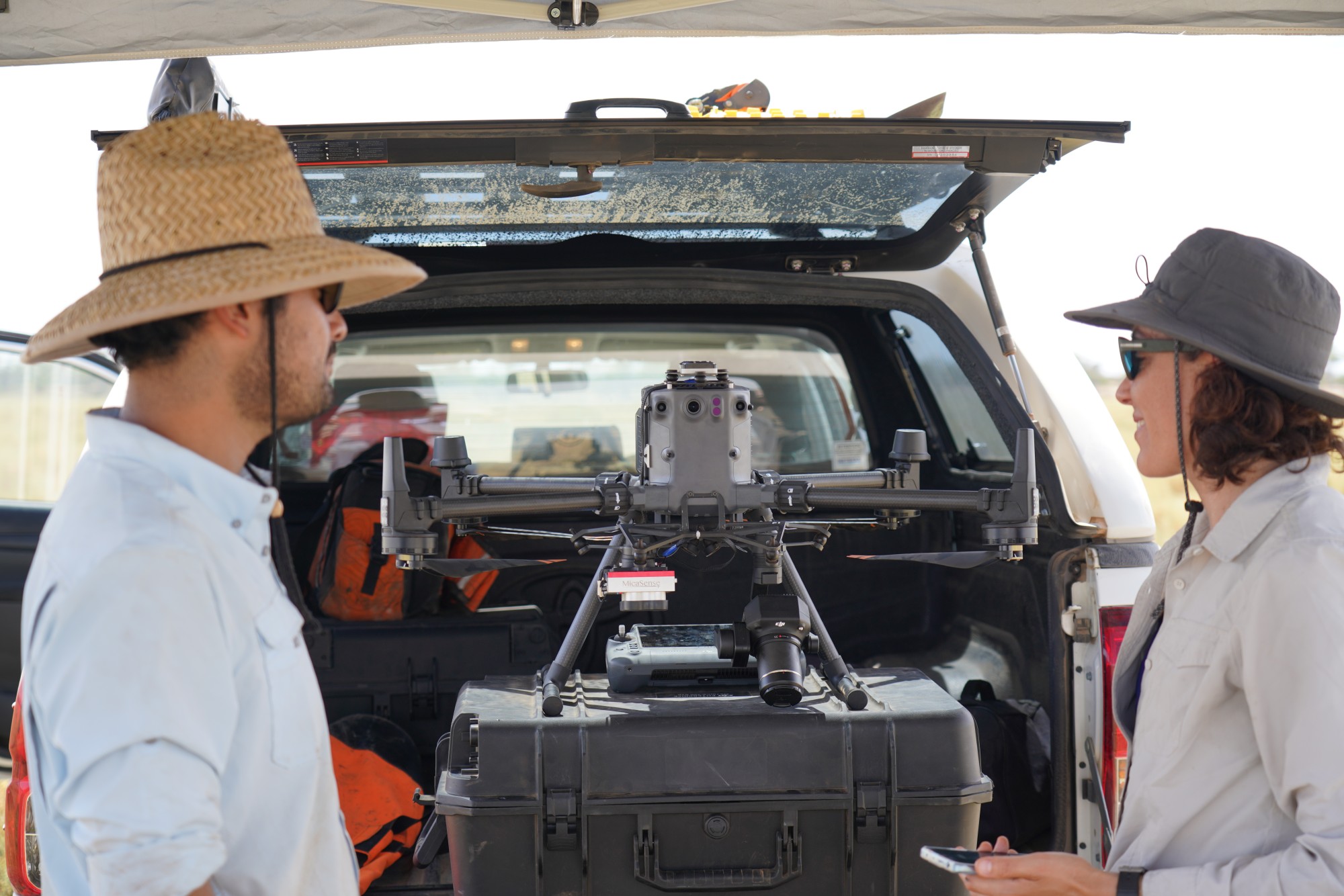
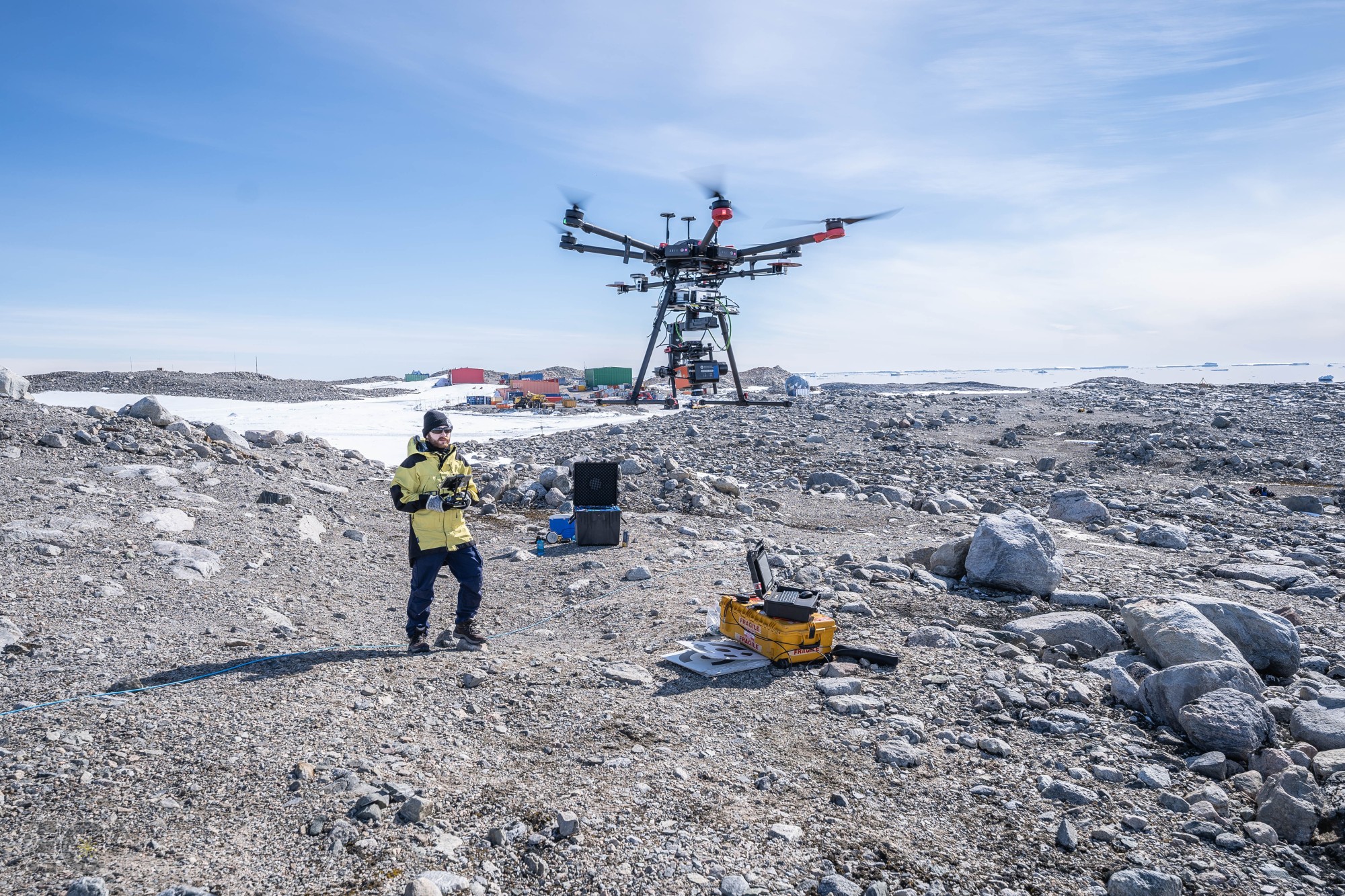
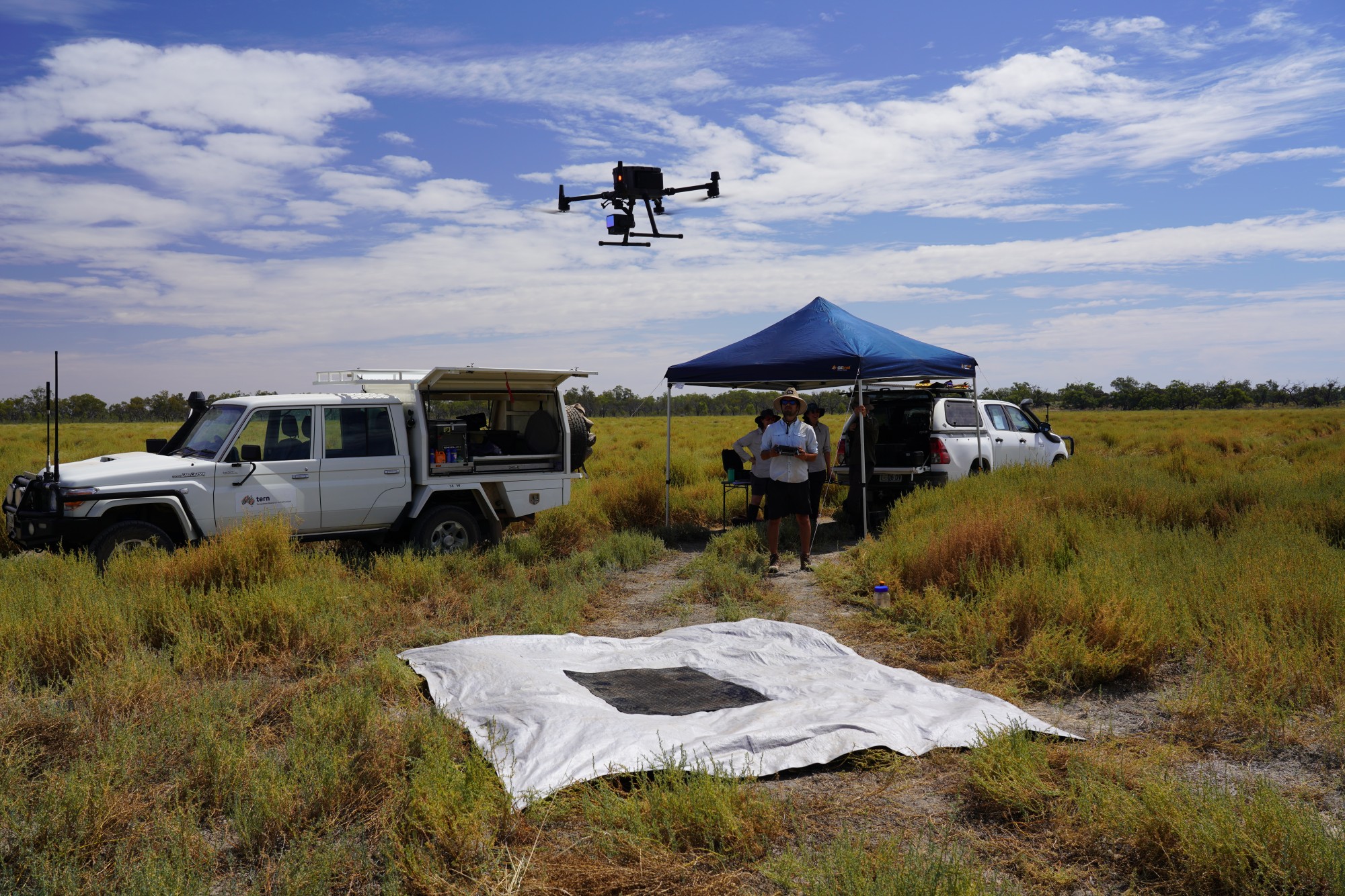
TerraLuma in the field
Adjunct and Alumni
Poornima Sivanandam - Research Associate in Remote Sensing (2021 - 2023)
Dr Benjamin Charles Weeding - PhD Candidate (2020 - 2024)
Modelling Outdoor Thermal Stress at Human Scales
Dr Jacob Virtue - PhD Candidate (2019 - 2024)
Monitoring Burrow-nesting Seabird Populations with UAS Thermal Remote Sensing
Dr Dipendra Bhattarai - PhD Candidate (2019 - 2024)
Investigating Spatial Granularity of Artificial Night-time Lights using Satellite Images and Unoccupied Aircraft Systems
Dr Juan Carlos Montes Herrera - PhD Candidate (2019 - 2023)
Proximal Remote Sensing of Seafloor Communities with Underwater Imaging Techniques
Dr Leonard Hambrecht - PhD Candidate (2019 - 2024)
Bridging the Scale Gap: Drone-based lidar for assessing functional forest diversity
Dr Juliane Bendig - Research Associate (2018 - 2020), Postdoctoral Fellow (2016 - 2019)
airLIFT - an airborne active chlorophyll fluorescence sensing system for assessment of photosynthetic activity in plant and Sensor calibration facility for spectral and thermal remote sensing
Dr Krishna Lamsal - PhD Candidate (2018 - 2024)
Quantitative Remote Sensing of Vegetation Functional Traits and Disturbance Dynamics in Australian Eucalypt Forest
Dr Zbyněk Malenovský - Research Fellow (2012 - 2015), Adjunct Researcher (2015 - 2017), ARC Research Fellow (2017 - 2021)
airLIFT is an airborne active chlorophyll fluorescence sensing system designed for assessing photosynthetic activity in plants. Towards a large-scale Antarctic Nearshore and Terrestrial Observing System (ANTOS) focuses on scaling and optimizing unmanned airborne observations of moss ecosystems in Antarctica.
Dr Nicolo Camarretta - PhD Candidate (2016 - 2021)
Bridging the Divide between Remote Sensing and Forest Ecological Restoration: Applications for effectiveness monitoring
Dr Gustavo Togeiro de Alckmin - PhD Candidate (2016 - 2021)
From Field to Airborne Spectroscopy – Advancing spectral data analytics for accurate retrieval of perennial ryegrass biomass and feed quality
Dr Emiliano Cimoli - PhD Candidate (2016 - 2020)
Development of Hyperspectral and RGB Imaging Systems for Under-ice Mapping of Fine Scale Sea-ice Biophysical Properties
Richard Ballard - Mechatronics engineer for sensor integration (2015 - 2019)
Dr Bechu Kumar Vinwar Yadav - PhD Candidate (2015 - 2019)
Mapping Species Composition and Structure in Wet Eucalypt Forest using Multi-source Remote Sensing Data
Dr Irfan Akhtar Iqbal - PhD Candidate (2015 - 2020)
Evaluating Photogrammetric Point Clouds for Forest Inventory
Iain Clark - 2015
Thermal and hyperspectral drone remote sensing for precision agriculture
Dr Deepak Gautam - PhD Candidate (2014 - 2019)
Direct Georeferencing and Footprint Characterisation of a Non-Imaging Spectroradiometer Mounted on an Unmanned Aircraft System
Dr Faheem Iqbal - PhD Candidate (2014 - 2018)
Utilising Unmanned Aerial System (UAS) for Precision Agriculture and Yield Estimation of Tasmanian Poppy
Dr Pascal Hirsch - PhD Candidate (2014 - 2019)
Towards Improved Insect Monitoring Systems Using UHF RFID and Other Passive Asymmetric Digital Radio Technologies
Dr Ansara Noori - PhD Candidate (2013 - 2018)
Radiometric Analysis of LEDs and the Use of Rapidly Pulsed Infrared LEDs for Portable Sensing of Gases
Dr Bethany Cox - PhD Candidate (2012 - 2017)
Object-Based Remotely Sensed Image Classification for Identification of Lowland Native Grassland Communities in the Tasmanian Midlands
Dr Grant William Staben - PhD Candidate (2010 - 2021)
Development of Remote Sensing Products to Investigate the Impact of Tropical Cyclones on Natural Vegetation Communities in the Wet-dry Tropics of Northern Australia
Dr Stephen Harwin - PhD Candidate (2010 - 2015)
Multi-View Stereopsis (MVS) from an Unmanned Aerial Vehicle (UAV) for Natural Landform Mapping
Dr Luke Wallace - PhD Candidate (2010 - 2014)
The Development and Application of a Unmanned Aerial Vehicle Laser Scanning System for Forest Management
Dr Joshua Kelcey - PhD Candidate (2010 - 2014)
Object-Based Image Analysis of Ultra-High Resolution Imagery Acquired over a Saltmarsh Environment by and Unmanned Aircraft System (UAS)
Dr Darren Turner - PhD Candidate (2010 - 2015)
Multi-sensor, multi-temporal, and ultra-high resolution environmental remote sensing from UAVs
Tony Veness - Technical Officer (2010 - 2013)
Sensor integration projects, including the first drone LiDAR